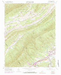
1963 Map of Glenvar
USGS Topo · Published 1983About this map
Catawba Mountain and Fort Lewis Mountain dominate this landscape, creating a series of narrow valleys where agriculture and small settlements like Bradshaw and Wabun took root. The North Fork Roanoke River and Catawba Creek have carved these paths, which became essential corridors for transportation and early development. The Norfolk and Western railroad and local roads follow the riverbanks, linking the community of Glenvar to the wider region.
Find a feature on this map
47 named features on this map. Tap any name to fly to it.
Don’t see what you’re looking for? This feature index may not catch every label — zoom into the map to look around manually.
Map Details
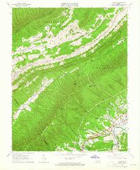
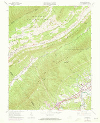
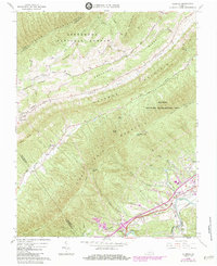
Editions of this 1963 Glenvar Map
4 editions found
Other maps of this area

1890 · Christiansburg
USGS Topo · 1:125,000

1923 · Waiteville
USGS Topo · 1:62,500

1929 · Salem
USGS Topo · 1:48,000

1931 · Waiteville
USGS Topo · 1:48,000

1932 · Salem
USGS Topo · 1:62,500

1932 · Blacksburg
USGS Topo · 1:48,000

1937 · Blacksburg
USGS Topo · 1:62,500

1944 · Waiteville
USGS Topo · 1:62,500

1950 · Elliston
USGS Topo · 1:62,500

1951 · Waiteville
USGS Topo · 1:62,500