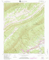
1963 Map of Glenvar
USGS Topo · Published 1984About this map
Catawba Mountain and Fort Lewis Mountain dominate this mid-century view of the Roanoke Valley, where the Roanoke River and the Norfolk and Western railway corridor served as the primary arteries for settlement and transport. The map documents the rural character of communities like Glenvar and Bradshaw during the early 1960s, before significant modern expansion altered the footprint of these valley hamlets.
Find a feature on this map
55 named features on this map. Tap any name to fly to it.
Don’t see what you’re looking for? This feature index may not catch every label — zoom into the map to look around manually.
Map Details
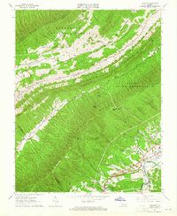
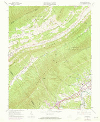
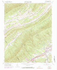
Editions of this 1963 Glenvar Map
4 editions found
Other maps of this area

1890 · Christiansburg
USGS Topo · 1:125,000

1923 · Waiteville
USGS Topo · 1:62,500

1929 · Salem
USGS Topo · 1:48,000

1931 · Waiteville
USGS Topo · 1:48,000

1932 · Salem
USGS Topo · 1:62,500

1932 · Blacksburg
USGS Topo · 1:48,000

1937 · Blacksburg
USGS Topo · 1:62,500

1944 · Waiteville
USGS Topo · 1:62,500

1950 · Elliston
USGS Topo · 1:62,500

1951 · Waiteville
USGS Topo · 1:62,500