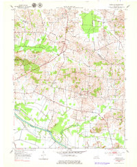
1953 Map of Glenville
USGS Topo · Published 1979About this map
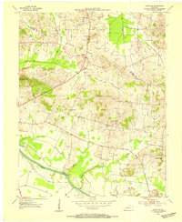
The Green River meanders across the southern portion of this Kentucky landscape, defining the topography of McLean County during the early 1950s. The settlement of Glenville serves as a central hub, situated near the Indefinite Boundary with Daviess County. This survey highlights an active rural economy, where an extensive Oil Field with numerous wells is mapped in the northwest, contrasting with the agricultural patterns and scattered homesteads found elsewhere.
Find a feature on this map
18 named features on this map. Tap any name to fly to it.
Don’t see what you’re looking for? This feature index may not catch every label — zoom into the map to look around manually.
Map Details
Editions of this 1953 Glenville Map
2 editions found
Other maps of this area

1906 · Sutherland
USGS Topo · 1:62,500

1908 · Calhoun
USGS Topo · 1:62,500

1909 · Madisonville
USGS Topo · 1:62,500

1909 · Central City
USGS Topo · 1:62,500

1952 · Equality
USGS Topo · 1:24,000

1952 · Livermore
USGS Topo · 1:24,000

1952 · Sacramento
USGS Topo · 1:24,000

1952 · Calhoun
USGS Topo · 1:24,000

1953 · Sutherland
USGS Topo · 1:24,000

1953 · Utica
USGS Topo · 1:24,000