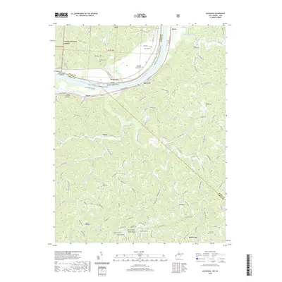
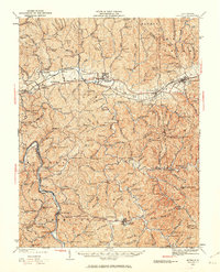
2019 Map of Glenwood
USGS Topo · Published 2019About this map
Wayne National Forest terrain borders the Ohio River in this 2019 survey, illustrating the complex geography where Gallia County, Ohio, meets West Virginia. The river corridor is defined by features like Cottonwood Bar and the proposed Middle Ohio River Trail, while the settlement of Glenwood serves as a local focal point near the bank. Moving inland, the landscape is deeply dissected by drainages such as Eighteenmile Creek and Guyan Creek, creating a network of ridges and hollows that historically dictated settlement patterns.
Find a feature on this map
125 named features on this map. Tap any name to fly to it.
Don’t see what you’re looking for? This feature index may not catch every label — zoom into the map to look around manually.
Map Details
Editions of this 2019 Glenwood Map
This is the sole edition of this map. No revisions or reprints were ever made.
Other maps of this area

1892 · Huntington
USGS Topo · 1:125,000

1898 · Huntington
USGS Topo · 1:125,000
1901 · Guyandot
USGS Topo · 1:62,500
1902 · Guyandot
USGS Topo · 1:62,500
1902 · Milton
USGS Topo · 1:62,500
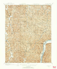
1906 · Athalia
USGS Topo · 1:62,500
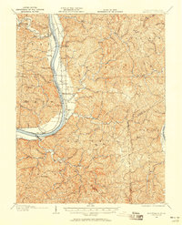
1906 · Glenwood
USGS Topo · 1:62,500
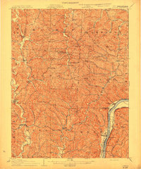
1908 · Athalia
USGS Topo · 1:62,500
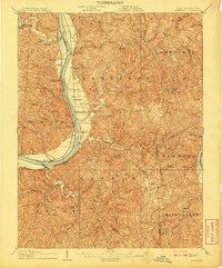
1908 · Glenwood
USGS Topo · 1:62,500
1931 · Milton
USGS Topo · 1:62,500