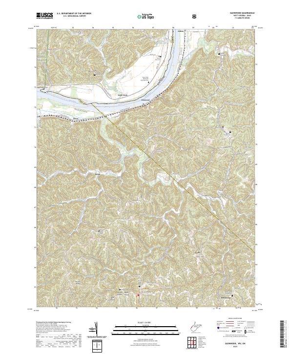
2023 Map of Glenwood
USGS Topo · Published 2023About this map
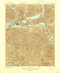
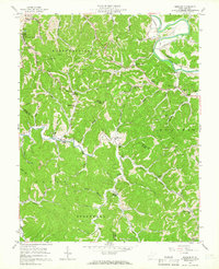
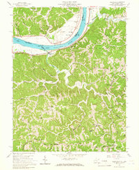
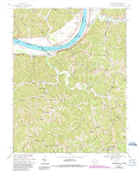
The Ohio River carves a deep valley along the border of Mason CO and Cabell CO, West Virginia, defining the settlement patterns of this riverine landscape. The village of Glenwood serves as a central point along the shoreline, situated across the water from Ashton and the mouth of Eighteenmile Creek. This modern survey details a region where family history and geography are inextricably linked, visible in the high density of upland burial sites such as the McCoy Family Cemetery and the Swan Creek Methodist Episcopal Cemetery. Away from the river, the terrain rises into sharp ridges and hollows like Barker Ridge and Big Hill Hollow, much of which is preserved within the Wayne National Forest. The map also traces the historic Hannan Trace Road and the Kanawha Trace Trail, highlighting the enduring importance of these paths through the hills of southern West Virginia.
Find a feature on this map
127 named features on this map. Tap any name to fly to it.
Don’t see what you’re looking for? This feature index may not catch every label — zoom into the map to look around manually.
Map Details
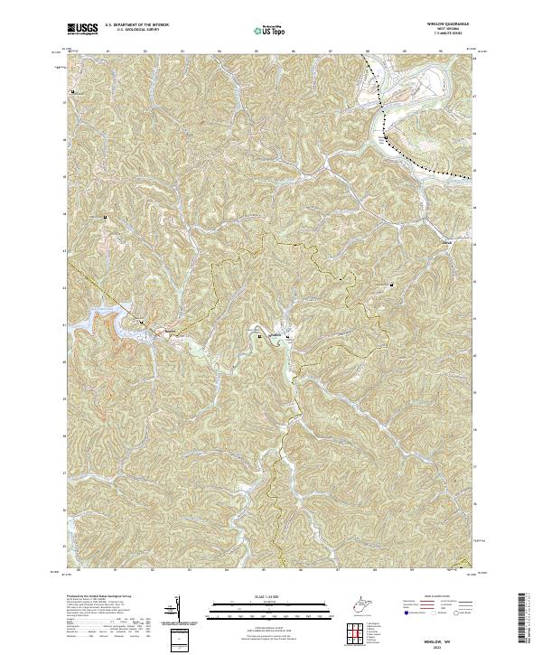
Editions of this 2023 Glenwood Map
This is the sole edition of this map. No revisions or reprints were ever made.
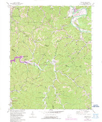
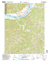
Historical Maps of Ohio Township Through Time
9 maps found