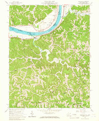
1958 Map of Glenwood
USGS Topo · Published 1966About this map
The Ohio River forms the central artery of this 1950s-era landscape, serving as a political and geographical divider between Gallia and Mason Counties. Along the eastern bank, the Baltimore and Ohio railroad tracks parallel the water, connecting small riverfront settlements like Glenwood and Clover. Away from the river, the terrain rises into the intricate ridge-and-valley systems of Hannah, Union, and Grant districts. This area is heavily dotted with rural community centers, particularly small country churches such as Mt Zion Ch. and Spurlock Creek Ch., and localized schools like Walnut Grove Sch. and Meadowfield Sch.. The higher elevations are defined by prominent features such as Barker Ridge, where early telecommunications are represented by the Wsaz and Whtn towers, marking the transition of this traditional farming and river landscape into the modern era.
Find a feature on this map
59 named features on this map. Tap any name to fly to it.
Don’t see what you’re looking for? This feature index may not catch every label — zoom into the map to look around manually.
Map Details
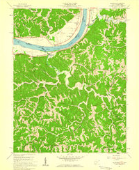
Editions of this 1958 Glenwood Map
2 editions found
Other maps of this area

1892 · Huntington
USGS Topo · 1:125,000

1898 · Huntington
USGS Topo · 1:125,000

1901 · Guyandot
USGS Topo · 1:62,500

1902 · Guyandot
USGS Topo · 1:62,500

1902 · Milton
USGS Topo · 1:62,500

1906 · Athalia
USGS Topo · 1:62,500

1906 · Glenwood
USGS Topo · 1:62,500

1908 · Athalia
USGS Topo · 1:62,500

1908 · Glenwood
USGS Topo · 1:62,500

1931 · Milton
USGS Topo · 1:62,500