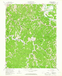
1957 Map of Winslow
USGS Topo · Published 1965About this map
The Guyandotte River cuts through the northern reaches of this territory, where the Chesapeake and Ohio railroad tracks follow the river's bend past Owens Crossing. This mid-century survey documents the rural landscape across the border of Cabell Co and Wayne Co, characterized by a dense network of creek forks and ridges. Settlements such as Winslow, Bowen, and Sarah serve as anchors for a dispersed population connected by winding valley roads.
Find a feature on this map
59 named features on this map. Tap any name to fly to it.
Don’t see what you’re looking for? This feature index may not catch every label — zoom into the map to look around manually.
Map Details
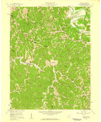
Editions of this 1957 Winslow Map
2 editions found
Other maps of this area

1892 · Huntington
USGS Topo · 1:125,000

1898 · Huntington
USGS Topo · 1:125,000

1901 · Guyandot
USGS Topo · 1:62,500

1902 · Guyandot
USGS Topo · 1:62,500

1902 · Milton
USGS Topo · 1:62,500

1902 · Midkiff
USGS Topo · 1:62,500

1907 · Midkiff
USGS Topo · 1:62,500

1909 · Wayne
USGS Topo · 1:62,500

1909 · Midkiff
USGS Topo · 1:62,500

1931 · Wayne
USGS Topo · 1:62,500