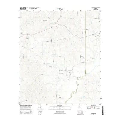
2014 Map of Glenwood
USGS Topo · Published 2014About this map
Conecuh River meandering through the southern landscape highlights the rural character of this Alabama region, where small communities like Glenwood and Social Town are connected by a network of local roads. In the early 21st century, the area remains defined by its agriculture and water features, including Folmer Ponds and Sluggs Lake. The topography is marked by notable high points such as Gopher Ridge, while the boundary between Crenshaw and Pike counties cuts through the eastern portion of the map. Local history is anchored by numerous family and community sites, from Shirleys Crossroads to several established burial grounds including Emmaus Cem and Spears Cem. The layout of towns like Luverne and Goshen shows the intersection of major thoroughfares like Us-29 with the winding paths of Cedar Creek and Providence Cr.
Find a feature on this map
92 named features on this map. Tap any name to fly to it.
Don’t see what you’re looking for? This feature index may not catch every label — zoom into the map to look around manually.
Map Details
Editions of this 2014 Glenwood Map
This is the sole edition of this map. No revisions or reprints were ever made.
Other maps of this area

1953 · Andalusia
USGS Topo · 1:250,000

1957 · Andalusia
USGS Topo · 1:250,000
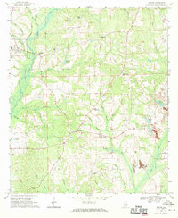
1968 · Goshen
USGS Topo · 1:24,000
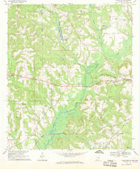
1968 · Youngblood
USGS Topo · 1:24,000
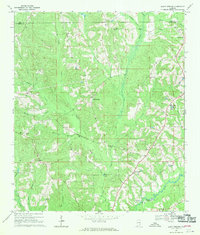
1968 · Bluff Springs
USGS Topo · 1:24,000

1968 · Glenwood
USGS Topo · 1:24,000

1968 · Bullock
USGS Topo · 1:24,000

1968 · Petrey
USGS Topo · 1:24,000

1971 · Luverne
USGS Topo · 1:24,000

1971 · Brantley
USGS Topo · 1:24,000