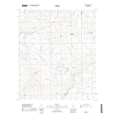
2018 Map of Glenwood
USGS Topo · Published 2018About this map
Conecuh River drainage patterns define this portion of the coastal plain, where the border of Crenshaw and Pike counties follows the meandering water. The settlement of Luverne sits at the western edge of the quadrangle, serving as a hub for the network of rural routes like Co Rd 59 and Martin Rd. To the east, the landscape is dotted with small communities including Glenwood, Goshen, and the interestingly named Social Town.
Find a feature on this map
100 named features on this map. Tap any name to fly to it.
Don’t see what you’re looking for? This feature index may not catch every label — zoom into the map to look around manually.
Map Details
Editions of this 2018 Glenwood Map
This is the sole edition of this map. No revisions or reprints were ever made.
Other maps of this area

1953 · Andalusia
USGS Topo · 1:250,000

1957 · Andalusia
USGS Topo · 1:250,000
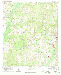
1968 · Goshen
USGS Topo · 1:24,000
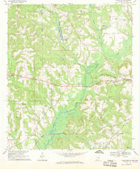
1968 · Youngblood
USGS Topo · 1:24,000
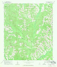
1968 · Bluff Springs
USGS Topo · 1:24,000

1968 · Glenwood
USGS Topo · 1:24,000

1968 · Bullock
USGS Topo · 1:24,000

1968 · Petrey
USGS Topo · 1:24,000

1971 · Luverne
USGS Topo · 1:24,000

1971 · Brantley
USGS Topo · 1:24,000