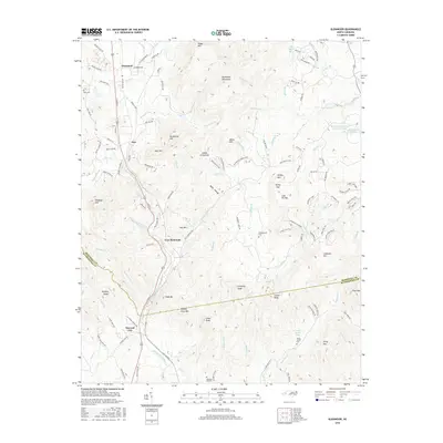
2016 Map of Glenwood
USGS Topo · Published 2016About this map
Thermal City and Glenwood anchor this survey of the foothills where the McDowell and Rutherford county lines meet. The landscape is dominated by a complex network of peaks including Rockhouse Mtn, Rust Mtn, and the distinctive Vein Mountain, while the valleys are drained by S Muddy Cr and its numerous tributaries. Settled pockets are scattered throughout the mountain gaps, documented here through locations like Fero and the rural roads branching off S Main St.
Find a feature on this map
138 named features on this map. Tap any name to fly to it.
Don’t see what you’re looking for? This feature index may not catch every label — zoom into the map to look around manually.
Map Details
Editions of this 2016 Glenwood Map
This is the sole edition of this map. No revisions or reprints were ever made.
Other maps of this area
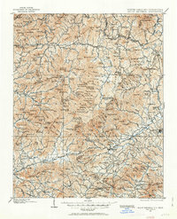
1900 · Mount Mitchell
USGS Topo · 1:125,000
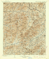
1902 · Mount Mitchell
USGS Topo · 1:125,000
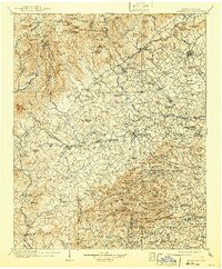
1905 · Morganton
USGS Topo · 1:125,000
1907 · Saluda
USGS Topo · 1:125,000
1953 · Charlotte
USGS Topo · 1:250,000
1954 · Charlotte
USGS Topo · 1:250,000
1955 · Knoxville
USGS Topo · 1:250,000
1957 · Knoxville
USGS Topo · 1:250,000
1959 · Lake Lure
USGS Topo · 1:62,500
1960 · Knoxville
USGS Topo · 1:250,000