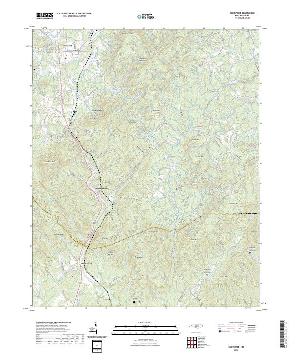
2022 Map of Glenwood
USGS Topo · Published 2022About this map
The Second Broad River cuts through this landscape along the border of McDowell and Rutherford counties, serving as a corridor for settlement and transit. In the southern reach, Thermal City and Vein Mountain mark areas of historical significance, while Glenwood anchors the northern territory near the Huntsville Mountains. The terrain is defined by a dense concentration of named peaks, including Lookadoo Mtn, Conoway Knob, and Turkey Mtn, which frame the many branch waters that feed into the river system. Local heritage is preserved in sites like Brackettown, a small settlement accompanied by the Brackettown Cem, and the remote Fork Creek Baptist Church located in the eastern hills. This 2022 survey documents the contemporary road network, such as Old US Hwy 221 and Tongass Ridge Dr, overlaying an older pattern of mountain gaps and hollows like Indian Grave Gap and Ward Hollow.
Find a feature on this map
137 named features on this map. Tap any name to fly to it.
Don’t see what you’re looking for? This feature index may not catch every label — zoom into the map to look around manually.
Map Details
Editions of this 2022 Glenwood Map
This is the sole edition of this map. No revisions or reprints were ever made.
Other maps of this area

1900 · Mount Mitchell
USGS Topo · 1:125,000

1902 · Mount Mitchell
USGS Topo · 1:125,000

1905 · Morganton
USGS Topo · 1:125,000

1907 · Saluda
USGS Topo · 1:125,000

1953 · Charlotte
USGS Topo · 1:250,000

1954 · Charlotte
USGS Topo · 1:250,000

1955 · Knoxville
USGS Topo · 1:250,000

1957 · Knoxville
USGS Topo · 1:250,000

1959 · Lake Lure
USGS Topo · 1:62,500

1960 · Knoxville
USGS Topo · 1:250,000