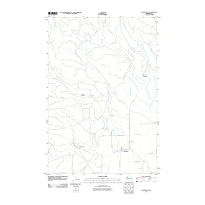
2011 Map of Glenwood
USGS Topo · Published 2011About this map
Glenwood serves as the primary hub in this corner of Klickitat County, where the settlement grid meets the winding waters of the Klickitat River. The landscape is defined by its complex irrigation and drainage network, featuring systems like Hellroaring Ditch and Sage Flat Ditch that support the local agricultural economy. To the west, the terrain transitions into a more recreational character, anchored by Draper Springs and several designated sites including Bird Creek Campground, Stout Campground, and Draper Springs Camp.
Find a feature on this map
40 named features on this map. Tap any name to fly to it.
Don’t see what you’re looking for? This feature index may not catch every label — zoom into the map to look around manually.
Map Details
Editions of this 2011 Glenwood Map
This is the sole edition of this map. No revisions or reprints were ever made.
Other maps of this area

1904 · Mount Adams
USGS Topo · 1:125,000

1907 · Mount Adams
USGS Topo · 1:125,000

1934 · The Dalles
USGS Topo · 1:125,000

1950 · Yakima
USGS Topo · 1:250,000

1953 · The Dalles
USGS Topo · 1:250,000

1956 · The Dalles
USGS Topo · 1:250,000

1957 · The Dalles
USGS Topo · 1:250,000

1957 · Klickitat
USGS Topo · 1:62,500

1957 · Husum
USGS Topo · 1:62,500

1958 · Yakima
USGS Topo · 1:250,000