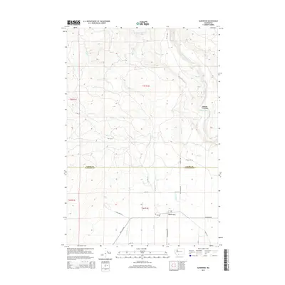
2014 Map of Glenwood
USGS Topo · Published 2014About this map
Glenwood serves as the primary hub in this portion of Klickitat County, situated at the junction of several key regional routes including the BZ Glenwood Hwy and Trout Lake Hwy. The landscape is defined by its complex water management and drainage systems, characterized by human-engineered features like Hellroaring Ditch and Sage Flat Ditch alongside natural waterways such as the Klickitat River.
Find a feature on this map
35 named features on this map. Tap any name to fly to it.
Don’t see what you’re looking for? This feature index may not catch every label — zoom into the map to look around manually.
Map Details
Editions of this 2014 Glenwood Map
This is the sole edition of this map. No revisions or reprints were ever made.
Other maps of this area

1904 · Mount Adams
USGS Topo · 1:125,000

1907 · Mount Adams
USGS Topo · 1:125,000

1934 · The Dalles
USGS Topo · 1:125,000

1950 · Yakima
USGS Topo · 1:250,000

1953 · The Dalles
USGS Topo · 1:250,000

1956 · The Dalles
USGS Topo · 1:250,000

1957 · The Dalles
USGS Topo · 1:250,000

1957 · Klickitat
USGS Topo · 1:62,500

1957 · Husum
USGS Topo · 1:62,500

1958 · Yakima
USGS Topo · 1:250,000