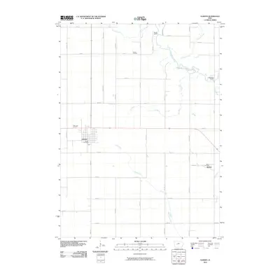
2010 Map of Glidden
USGS Topo · Published 2010About this map
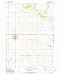
The town of Glidden serves as the central hub of this agricultural landscape in Carroll County, showing its grid-patterned streets and the Glidden Post Office at the start of the 21st century. The terrain is defined by the winding course of the North Raccoon River and its various tributaries, including Purgatory Creek and Doe Brook. These waterways are crossed by specific named crossings such as Kendal Bridge and Loudenbeck Bridge, which facilitate the county's extensive rectangular road network.
Find a feature on this map
37 named features on this map. Tap any name to fly to it.
Don’t see what you’re looking for? This feature index may not catch every label — zoom into the map to look around manually.
Map Details
Editions of this 2010 Glidden Map
This is the sole edition of this map. No revisions or reprints were ever made.
Other maps of this area

1954 · Omaha
USGS Topo · 1:250,000

1954 · Fort Dodge
USGS Topo · 1:250,000
1957 · Omaha
USGS Topo · 1:250,000
1957 · Fort Dodge
USGS Topo · 1:250,000
1958 · Omaha
USGS Topo · 1:250,000
1958 · Fort Dodge
USGS Topo · 1:250,000
1971 · Dedham
USGS Topo · 1:24,000
1971 · Coon Rapids NE
USGS Topo · 1:24,000
1971 · Coon Rapids North
USGS Topo · 1:24,000
1980 · Glidden
USGS Topo · 1:24,000