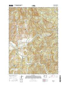
2017 Map of Glide
USGS Topo · Published 2017About this map
The confluence of the North Umpqua River and the Little River anchors this study of the Douglas County landscape near Glide. This area is characterized by a mix of aviation infrastructure, including Umpqua Airport and Glide Aero Airport, and industrial remnants like the Copeland Butte Quarry and the Little River Log Pond. The terrain is marked by significant elevations such as Scott Mtn and Ace Williams Mtn, while the river systems are spanned by notable crossings like the Floyd Frear Bridge and Glide Bridge. Local history is preserved at the Wimberly Family Cem, situated south of the main settlement. Small communities like Idleyld Park and Peel are connected by a network of Bureau of Land Management roads, reflecting the region's managed forest and river economy. The presence of The Narrows on the North Umpqua suggests the river's dynamic passage through the canyons.
Find a feature on this map
96 named features on this map. Tap any name to fly to it.
Don’t see what you’re looking for? This feature index may not catch every label — zoom into the map to look around manually.
Map Details
Editions of this 2017 Glide Map
This is the sole edition of this map. No revisions or reprints were ever made.
Other maps of this area

1897 · Roseburg
USGS Topo · 1:125,000

1900 · Roseburg
USGS Topo · 1:125,000
1954 · Dixonville
USGS Topo · 1:62,500
1954 · Glide
USGS Topo · 1:62,500
1955 · Red Butte
USGS Topo · 1:62,500
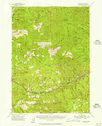
1955 · Mace Mtn
USGS Topo · 1:62,500

1958 · Roseburg
USGS Topo · 1:250,000

1959 · Roseburg
USGS Topo · 1:250,000
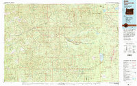
1978 · Diamond Lake
USGS Topo · 1:100,000
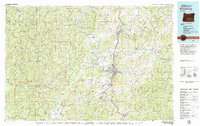
1979 · Roseburg
USGS Topo · 1:100,000