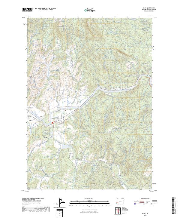
2023 Map of Glide
USGS Topo · Published 2023About this map
The confluence of the North Umpqua River and the Little River anchors the community of Glide, serving as a central hub for the dispersed settlements of Idleyld Park and Peel. This modern survey illustrates the enduring relationship between the river systems and the local economy, where the North Umpqua Wild and Scenic River corridor transitions into industrial and agricultural land. Key landmarks such as the Copeland Butte Quarry and the Umpqua Airport sit alongside legacy sites like the Wimberly Family Cem. The terrain is defined by significant elevations, including Scott Mtn, Ace Williams Mtn, and Copeland Butte, which frame a complex network of forest and ranch roads. Of particular note is The Narrows, a distinctive geological feature along the river upstream from the main settlement area.
Find a feature on this map
102 named features on this map. Tap any name to fly to it.
Don’t see what you’re looking for? This feature index may not catch every label — zoom into the map to look around manually.
Map Details
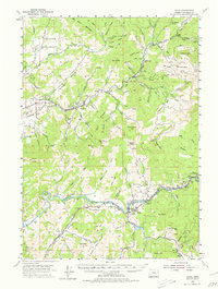
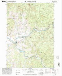
Editions of this 2023 Glide Map
This is the sole edition of this map. No revisions or reprints were ever made.