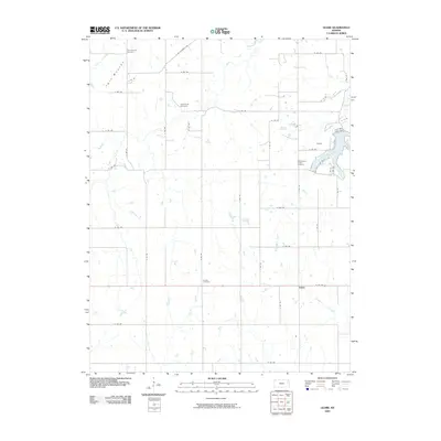
2009 Map of Globe
USGS Topo · Published 2009About this map
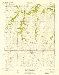
The community of Globe and the surrounding rural landscapes of Douglas County are defined by a network of drainage creeks and small settlements in this 2009 survey. To the northeast, the impounded waters of Lone Star Lake are held by the Lone Star Lake Dam, creating a focal point for the region near the settlement of Alfred. The terrain is marked by distinctive elevations such as Twin Mounds, which give their name to a nearby cemetery.
Find a feature on this map
47 named features on this map. Tap any name to fly to it.
Don’t see what you’re looking for? This feature index may not catch every label — zoom into the map to look around manually.
Map Details
Editions of this 2009 Globe Map
This is the sole edition of this map. No revisions or reprints were ever made.
Other maps of this area
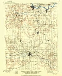
1885 · Lawrence
USGS Topo · 1:125,000
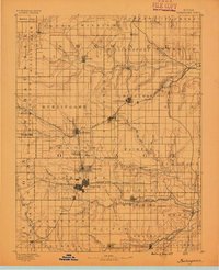
1889 · Burlingame
USGS Topo · 1:125,000
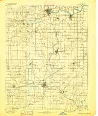
1889 · Lawrence
USGS Topo · 1:125,000
1894 · Burlingame
USGS Topo · 1:125,000

1947 · Lawrence
USGS Topo · 1:250,000

1950 · Lawrence
USGS Topo · 1:250,000
1950 · Lawrence West
USGS Topo · 1:24,000
1951 · Lawrence West
USGS Topo · 1:24,000
1955 · Clinton
USGS Topo · 1:24,000
1955 · Overbrook
USGS Topo · 1:24,000