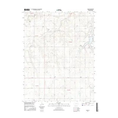
2015 Map of Globe
USGS Topo · Published 2015About this map
Globe sits at the intersection of rural routes in southwestern Douglas County, serving as a quiet focal point for this agricultural landscape. The terrain is defined by the winding drainages of Eightmile Cr and Washington Cr, which feed into the larger reservoirs that bookend the region. To the north, the waters of Clinton Lake reach into the quadrangle, while Lone Star Lake is carved into the hills to the east. The land is marked by significant historical waypoints, including the prominent Twin Mounds and a series of small, localized burial grounds like Twin Mounds Cem and Dodder Cem that speak to the generation of family farmsteads established here. The presence of Cloud Airport among the grid of county roads indicates the continued utility of the open plains for local transit and commerce.
Find a feature on this map
60 named features on this map. Tap any name to fly to it.
Don’t see what you’re looking for? This feature index may not catch every label — zoom into the map to look around manually.
Map Details
Editions of this 2015 Globe Map
This is the sole edition of this map. No revisions or reprints were ever made.
Other maps of this area
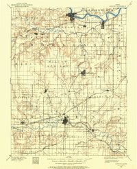
1885 · Lawrence
USGS Topo · 1:125,000
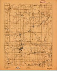
1889 · Burlingame
USGS Topo · 1:125,000
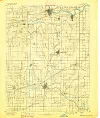
1889 · Lawrence
USGS Topo · 1:125,000
1894 · Burlingame
USGS Topo · 1:125,000
1947 · Lawrence
USGS Topo · 1:250,000
1950 · Lawrence
USGS Topo · 1:250,000
1950 · Lawrence West
USGS Topo · 1:24,000
1951 · Lawrence West
USGS Topo · 1:24,000
1955 · Clinton
USGS Topo · 1:24,000
1955 · Overbrook
USGS Topo · 1:24,000