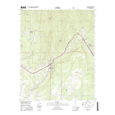
2017 Map of Glorieta
USGS Topo · Published 2017About this map
Glorieta Pass serves as the central focal point of this 2017 survey, representing a critical geographic corridor between the mountains and the high plains. The map details the transition from the high-elevation terrain near Shaggy Peak down to the drainage basins of Galisteo Cr and Ortega Cr. This modern edition provides a clear view of how traditional settlements like Canoncito and Cañada de los Alamos persist alongside protected federal lands, including portions of the Santa Fe National Forest and Pecos National Historical Park. For genealogists and local historians, the inclusion of several burial grounds, such as Canoncito Cem, Apache Cem, and Glorieta Cem, offers precise locations for family research. The transport network is also well-defined, showing the proximity of Lamy to the historic canyon routes and the contemporary road systems like the Old Las Vegas Hwy.
Find a feature on this map
83 named features on this map. Tap any name to fly to it.
Don’t see what you’re looking for? This feature index may not catch every label — zoom into the map to look around manually.
Map Details
Editions of this 2017 Glorieta Map
This is the sole edition of this map. No revisions or reprints were ever made.
Other maps of this area
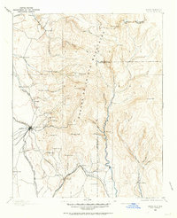
1889 · Santa Fe
USGS Topo · 1:125,000
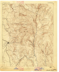
1894 · Santa Fe
USGS Topo · 1:125,000
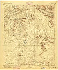
1894 · Lamy
USGS Topo · 1:125,000
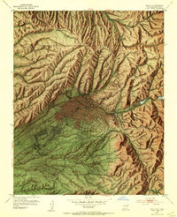
1952 · Santa Fe
USGS Topo · 1:24,000
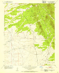
1952 · Seton Village
USGS Topo · 1:24,000
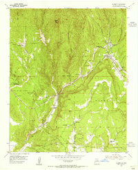
1953 · Glorieta
USGS Topo · 1:24,000
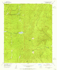
1953 · Mc Clure Reservoir
USGS Topo · 1:24,000
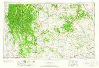
1954 · Santa Fe
USGS Topo · 1:250,000
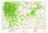
1958 · Santa Fe
USGS Topo · 1:250,000
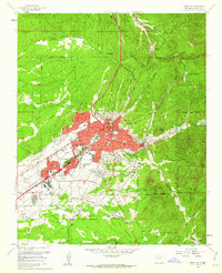
1961 · Santa Fe
USGS Topo · 1:24,000