Loading...
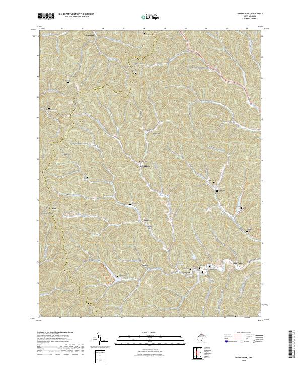
Loading map...2023 Map of Glover Gap
USGS Topo · Published 2023About this map
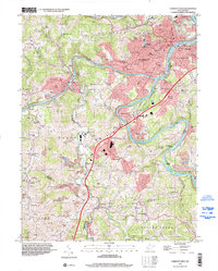
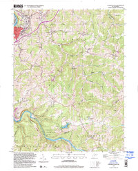
The boundary between Wetzel and Marion counties runs through this dissected upland, where narrow hollows and high ridges dictate the pattern of settlement. Remote communities such as Seven Pines, Curtisville, and Logansport follow the winding creek beds of Buffalo Creek and Owen Davy Fork. The landscape is notably dense with family burial grounds, including the Snodgrass, Hayhurst, and Higginbotham cemeteries, marking generations of local ancestry.
Find a feature on this map
106 named features on this map. Tap any name to fly to it.
Don’t see what you’re looking for? This feature index may not catch every label — zoom into the map to look around manually.
Map Details
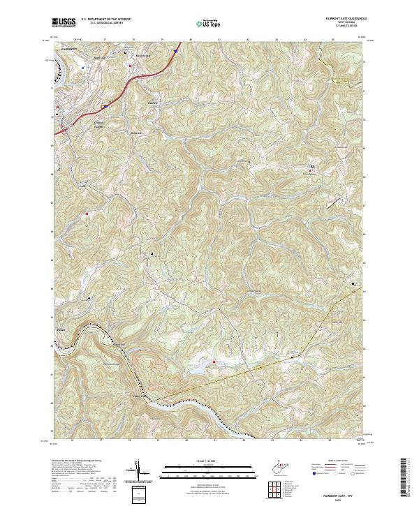
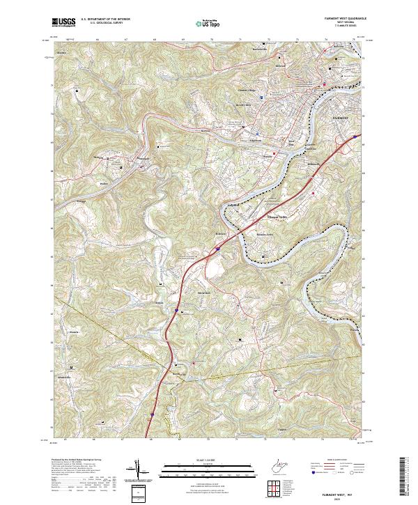
Date Portrayed2023
Date Published2023
PublisherU.S. Geological Survey
Map TypeTopographic
Scale1:24000
Physical Dimensions24 x 29 inches
Editions of this 2023 Glover Gap Map
This is the sole edition of this map. No revisions or reprints were ever made.
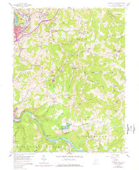
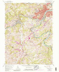
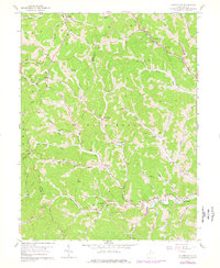
Historical Maps of Logansport Through Time
8 maps found
Featured Locations
Source Details
SourceU.S. Geological Survey
CopyrightPublic Domain