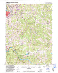
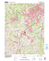
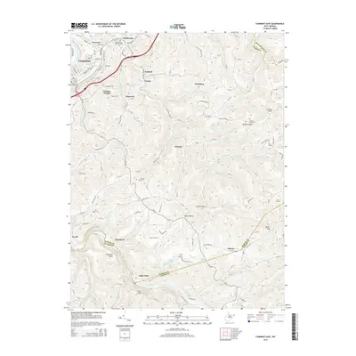
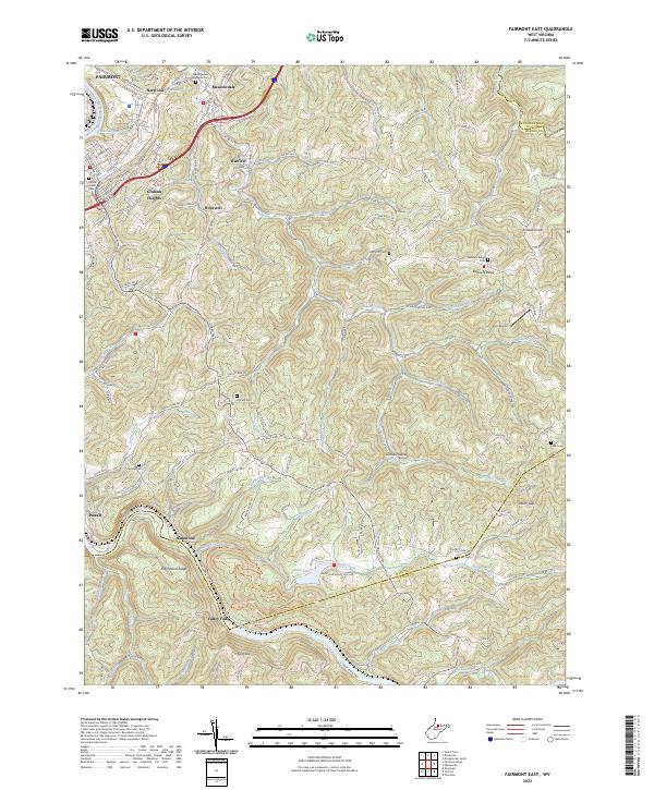
1999 Map of Fairmont East
USGS Topo · Published 2000About this map
The Monongahela River and Tygart Valley River converge just outside this 1999 inspection of the Marion County landscape, where the B & O RR tracks follow the winding riverbanks. The settlement of Fairmont dominates the northwestern corner, while the surrounding hills of Winfield and Union are dotted with rural infrastructure. The mapping reveals a dense network of country education and worship, including the Quiet Dell Sch and Mt Nebo Ch. Natural landmarks like Rock Lake and the cascades of Valley Falls State Park highlight the area's transition from industrial riverfronts to protected forests. This survey also records the legacy of the region's extraction history, notably marking a Strip Mine and the various runs and ridges that defined family farmsteads and communities such as Hammond and Meadowdale.
Find a feature on this map
81 named features on this map. Tap any name to fly to it.
Don’t see what you’re looking for? This feature index may not catch every label — zoom into the map to look around manually.
Map Details
Editions of this 1999 Fairmont East Map
This is the sole edition of this map. No revisions or reprints were ever made.
Historical Maps of Fairmont Through Time
20 maps found
1958 Fairmont East
Marion County, WV
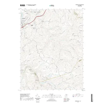
1958 Fairmont West
Marion County, WV
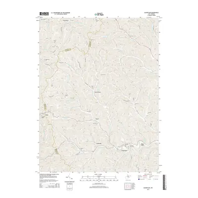
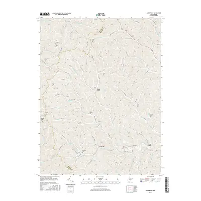
1960 Glover Gap
Marion County, WV
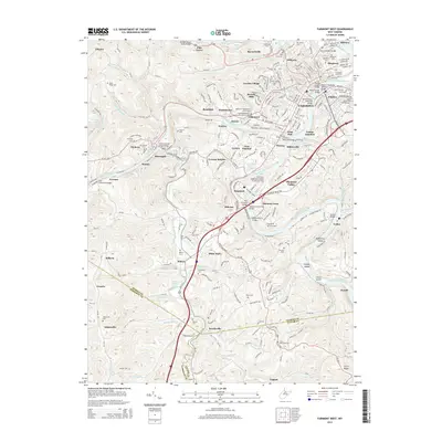
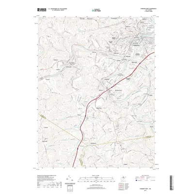
1997 Fairmont West
Marion County, WV
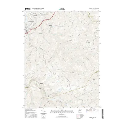
1999 Fairmont East
Marion County, WV
2011 Fairmont East
Marion County, WV
2011 Fairmont West
Marion County, WV
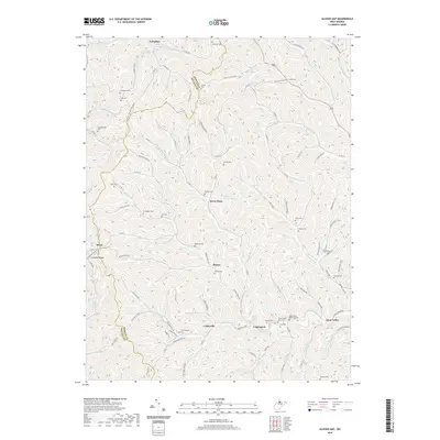
2011 Glover Gap
Marion County, WV
2014 Fairmont East
Marion County, WV
2014 Fairmont West
Marion County, WV
2014 Glover Gap
Marion County, WV
2016 Fairmont East
Marion County, WV

2016 Fairmont West
Marion County, WV
2016 Glover Gap
Marion County, WV
2019 Fairmont East
Marion County, WV
2019 Fairmont West
Marion County, WV
2019 Glover Gap
Marion County, WV
2023 Fairmont East
Marion County, WV
2023 Fairmont West
Marion County, WV
2023 Glover Gap
Marion County, WV