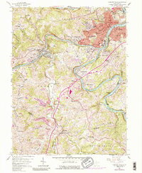
1958 Map of Fairmont West
USGS Topo · Published 1988About this map
Fairmont serves as the industrial and civic heart of this West Virginia landscape, situated at the confluence where the West Fork River and Tygart Valley River join to form the Monongahela River. The 1950s survey captures a dense network of residential neighborhoods like Beverly Hills, Edgemont, and Garden Village surrounding the urban core. The city's institutional importance is marked by the State Teachers College, City Hall, and the State Hospital, while its industrial identity is defined by the Baltimore and Ohio and Monongahela railroads that follow the riverbanks to serve numerous mines and transit hubs like Gaston Junction.
Find a feature on this map
118 named features on this map. Tap any name to fly to it.
Don’t see what you’re looking for? This feature index may not catch every label — zoom into the map to look around manually.
Map Details
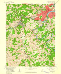
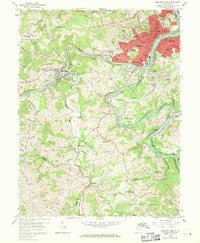
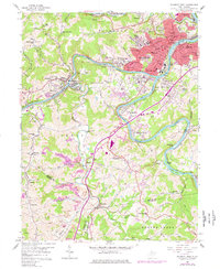
Editions of this 1958 Fairmont West Map
4 editions found
Other maps of this area

1902 · Clarksburg
USGS Topo · 1:62,500

1902 · Fairmont
USGS Topo · 1:62,500

1904 · Blacksville
USGS Topo · 1:62,500

1905 · Mannington
USGS Topo · 1:62,500

1910 · Clarksburg
USGS Topo · 1:62,500

1923 · Blacksville
USGS Topo · 1:62,500

1923 · Fairmont
USGS Topo · 1:62,500

1923 · Mannington
USGS Topo · 1:62,500

1923 · Clarksburg
USGS Topo · 1:62,500

1925 · Blacksville
USGS Topo · 1:62,500