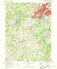
1958 Map of Fairmont West
USGS Topo · Published 1970About this map
Fairmont sits at the confluence where the West Fork River and Tygart Valley River join to form the Monongahela River, a geography that defined the industrial growth of North Central West Virginia. This mid-century landscape is marked by the heavy infrastructure of the Baltimore and Ohio Railroad, which follows the river valleys and services numerous coal-related sites, including several Strip Mine operations scattered across Grant and Clay districts.
Find a feature on this map
112 named features on this map. Tap any name to fly to it.
Don’t see what you’re looking for? This feature index may not catch every label — zoom into the map to look around manually.
Map Details
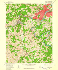
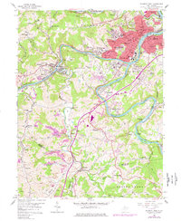
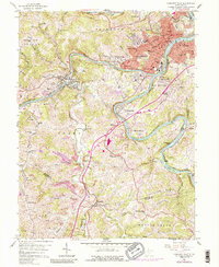
Editions of this 1958 Fairmont West Map
4 editions found
Other maps of this area

1902 · Clarksburg
USGS Topo · 1:62,500

1902 · Fairmont
USGS Topo · 1:62,500

1904 · Blacksville
USGS Topo · 1:62,500

1905 · Mannington
USGS Topo · 1:62,500

1910 · Clarksburg
USGS Topo · 1:62,500

1923 · Blacksville
USGS Topo · 1:62,500

1923 · Fairmont
USGS Topo · 1:62,500

1923 · Mannington
USGS Topo · 1:62,500

1923 · Clarksburg
USGS Topo · 1:62,500

1925 · Blacksville
USGS Topo · 1:62,500