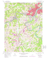
1958 Map of Fairmont West
USGS Topo · Published 1977About this map
Fairmont serves as the industrial and educational heart of this Marion County landscape, centered at the confluence where the Tygart Valley River and Ohio Fork River meet to form the Monongahela River. The map highlights a mid-century period of institutional growth, prominently featuring the State Teachers College and the State Hospital. Heavy industry and transportation infrastructure define the river corridors, with the Baltimore and Ohio Railroad snaking through Gaston Junction and Watson to support the region's coal and manufacturing interests.
Find a feature on this map
103 named features on this map. Tap any name to fly to it.
Don’t see what you’re looking for? This feature index may not catch every label — zoom into the map to look around manually.
Map Details
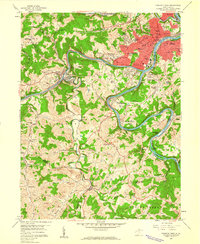
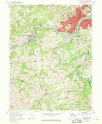
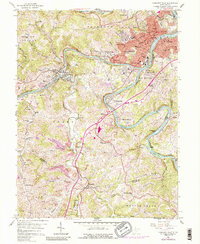
Editions of this 1958 Fairmont West Map
4 editions found
Other maps of this area

1902 · Clarksburg
USGS Topo · 1:62,500

1902 · Fairmont
USGS Topo · 1:62,500

1904 · Blacksville
USGS Topo · 1:62,500

1905 · Mannington
USGS Topo · 1:62,500

1910 · Clarksburg
USGS Topo · 1:62,500

1923 · Blacksville
USGS Topo · 1:62,500

1923 · Fairmont
USGS Topo · 1:62,500

1923 · Mannington
USGS Topo · 1:62,500

1923 · Clarksburg
USGS Topo · 1:62,500

1925 · Blacksville
USGS Topo · 1:62,500