Loading...
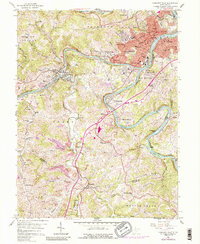
Loading map...1960 Map of Glover Gap
USGS Topo · Published 1977About this map
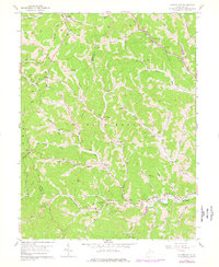
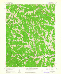
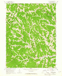
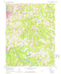
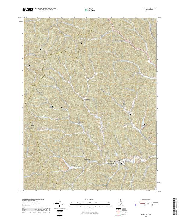
The Baltimore and Ohio Railroad winds through the northern hills of Marion County, passing through the village of Glover Gap. This 1960 era survey reveals a landscape deeply defined by the early Appalachian energy industry, with numerous Gas Wells and oil wells scattered across the ridges and narrow hollows. Settlements like Seven Pines, Rymer, and Curtisville serve as focal points for rural life, connected by winding routes along Buffalo Creek and Dents Run.
Find a feature on this map
70 named features on this map. Tap any name to fly to it.
Don’t see what you’re looking for? This feature index may not catch every label — zoom into the map to look around manually.
Map Details
Date Portrayed1960
Date Published1977
PublisherU.S. Geological Survey
Map TypeTopographic
Scale1:24,000
Physical Dimensions22.1 x 26.9 inches
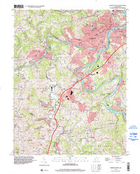
Editions of this 1960 Glover Gap Map
3 editions found
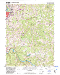
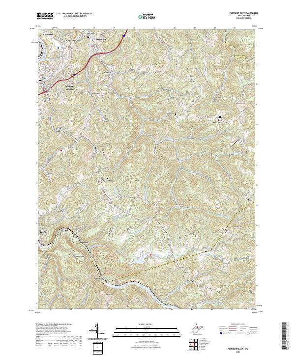
Historical Maps of Rymer Through Time
8 maps found
Featured Locations
Source Details
SourceU.S. Geological Survey
CopyrightPublic Domain