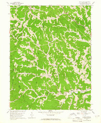
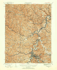
1960 Map of Glover Gap
USGS Topo · Published 1965About this map
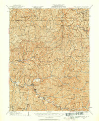
The Baltimore and Ohio railroad threads through the northern hills of Marion and Wetzel Counties, marking the industrial pulse of this 1960 landscape. Centered on the settlement of Glover Gap, the map reveals a countryside defined by deep hollows and numerous small family cemeteries, such as Carpenter Cem and Shaffer Cem, which anchor the ridge tops. The region is heavily marked by energy extraction, with a dense network of gas wells and major pipelines crossing the drainage of Buffalo Creek and Dents Run. Rural community life is visible in the scattered placement of the Glover Gap Sch and several country churches like Myers Chapel and Evergreen Ch. This survey provides a precise record of the upland Appalachian terrain before modern consolidation altered many of these small-scale farming and resource-extraction patterns.
Find a feature on this map
73 named features on this map. Tap any name to fly to it.
Don’t see what you’re looking for? This feature index may not catch every label — zoom into the map to look around manually.
Map Details
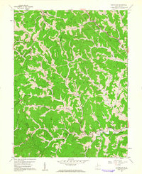
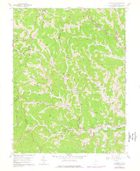
Editions of this 1960 Glover Gap Map
3 editions found
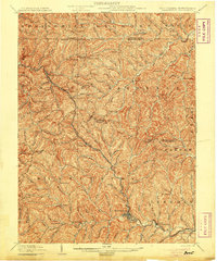
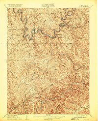
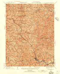
Other maps of this area
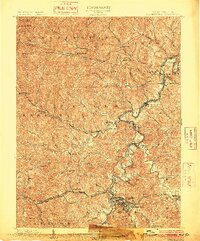
1902 · Clarksburg
USGS Topo · 1:62,500

1903 · Littleton
USGS Topo · 1:62,500
1905 · Mannington
USGS Topo · 1:62,500

1905 · Centerpoint
USGS Topo · 1:62,500

1905 · Littleton
USGS Topo · 1:62,500
1910 · Clarksburg
USGS Topo · 1:62,500
1923 · Mannington
USGS Topo · 1:62,500
1923 · Clarksburg
USGS Topo · 1:62,500

1924 · Centerpoint
USGS Topo · 1:62,500
1924 · Littleton
USGS Topo · 1:62,500