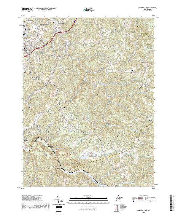
2023 Map of Fairmont East
USGS Topo · Published 2023About this map
The Tygart Valley River carves through the southern reaches of this landscape, anchoring Valley Falls State Park where the water descends through rocky terrain. This modern survey reveals a complex network of ridge-top settlements and deep hollows in the hills east of Fairmont. Higher elevations such as Kincaid Knob and the community at Bunners Ridge define the eastern interior, while the northwestern corner shows the suburban expansion of Norwood and Graham Heights.
Find a feature on this map
154 named features on this map. Tap any name to fly to it.
Don’t see what you’re looking for? This feature index may not catch every label — zoom into the map to look around manually.
Map Details
Editions of this 2023 Fairmont East Map
This is the sole edition of this map. No revisions or reprints were ever made.
Other maps of this area

1886 · St. George
USGS Topo · 1:125,000

1891 · St. George
USGS Topo · 1:125,000

1902 · Fairmont
USGS Topo · 1:62,500

1902 · Morgantown
USGS Topo · 1:62,500

1904 · Blacksville
USGS Topo · 1:62,500

1907 · Thornton
USGS Topo · 1:62,500

1923 · Blacksville
USGS Topo · 1:62,500

1923 · Fairmont
USGS Topo · 1:62,500

1925 · Blacksville
USGS Topo · 1:62,500

1925 · Morgantown
USGS Topo · 1:62,500