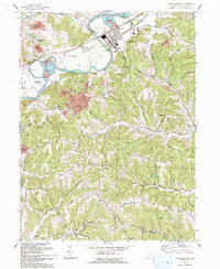
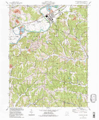
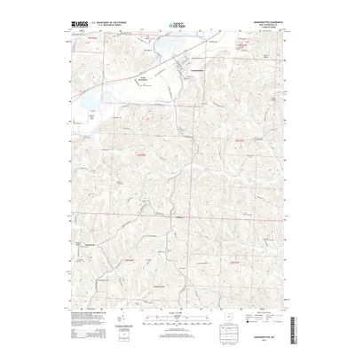
1993 Map of Gnadenhutten
USGS Topo · Published 1993About this map
Gnadenhutten serves as the focal point of this Tuscarawas County landscape, situated along the banks of the Tuscarawas River. The area preserves deep local history at Gnadenhutten Historical Park and the adjacent Townhall, while the presence of Lock Seventeen and the Lock Seventeen Cem points to the legacy of the Ohio and Erie Canal. The terrain is a mix of agricultural valley floor and upland industrial activity, evidenced by a significant Oil Field and multiple extraction sites like the Strip Mine and Sand and Gravel Pit.
Find a feature on this map
47 named features on this map. Tap any name to fly to it.
Don’t see what you’re looking for? This feature index may not catch every label — zoom into the map to look around manually.
Map Details
Editions of this 1993 Gnadenhutten Map
This is the sole edition of this map. No revisions or reprints were ever made.
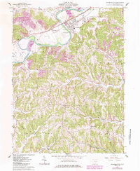
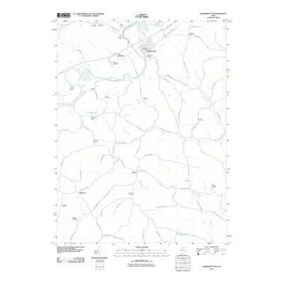
Historical Maps of Gnadenhutten Through Time
8 maps found
1962 Gnadenhutten
Tuscarawas County, OH
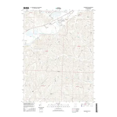
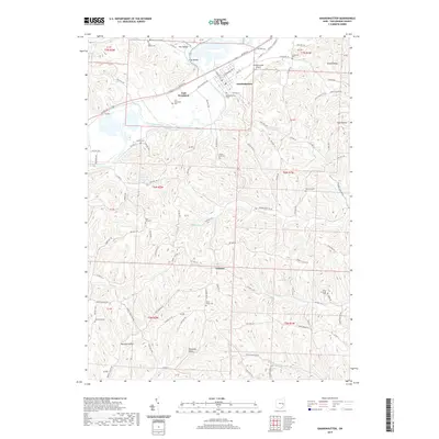
1993 Gnadenhutten
Tuscarawas County, OH
1994 Gnadenhutten
Tuscarawas County, OH
2010 Gnadenhutten
Tuscarawas County, OH
2013 Gnadenhutten
Tuscarawas County, OH
2016 Gnadenhutten
Tuscarawas County, OH
2019 Gnadenhutten
Tuscarawas County, OH
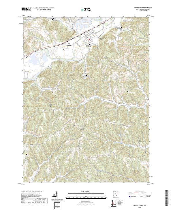
2023 Gnadenhutten
Tuscarawas County, OH