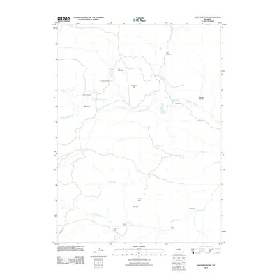
2012 Map of Goat Mountain
USGS Topo · Published 2012About this map
Iron Mountain Camp and several longstanding livestock operations anchor this corner of Wyoming, where the drainage of the Chugwater Creek system carves through the high plains. The map records a landscape defined by private holdings and land-family names, including the Indian Guide Ranch, Bell Ranch, and Bosler Ranch. Topographic features like the Limestone Rim and Iron Mountain dictate the placement of ranch houses and the winding paths of rural routes like Bell Rd.
Find a feature on this map
24 named features on this map. Tap any name to fly to it.
Don’t see what you’re looking for? This feature index may not catch every label — zoom into the map to look around manually.
Map Details
Editions of this 2012 Goat Mountain Map
This is the sole edition of this map. No revisions or reprints were ever made.
Other maps of this area

1905 · Sherman
USGS Topo · 1:125,000

1948 · Ragged Top Mountain
USGS Topo · 1:62,500

1950 · Ragged Top Mountain
USGS Topo · 1:62,500

1954 · Cheyenne
USGS Topo · 1:250,000

1955 · Indian Guide
USGS Topo · 1:24,000

1955 · Baldy Mountain
USGS Topo · 1:24,000

1955 · Sheep Rock
USGS Topo · 1:24,000

1955 · Goat Mountain
USGS Topo · 1:24,000

1958 · Cheyenne
USGS Topo · 1:250,000

1962 · Horse Creek
USGS Topo · 1:24,000