
1955 Map of Baldy Mountain
USGS Topo · Published 1957About this map
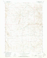
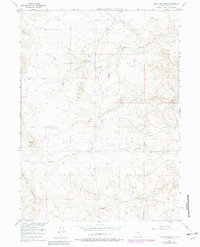
Laramie Mountains terrain dominates this mid-century survey of Albany County, Wyoming, conducted as part of the Department of the Interior's Missouri River Basin development program. The landscape is defined by its complex drainage network, where Strong Creek and Middle Chugwater Creek carve through high-elevation plateaus. Notable landforms like The Buttes and Baldy Mountain rise above the surrounding creek beds, illustrating the topographical transition from the mountains to the high plains. Human presence in this environment is sparse, centered on isolated holdings like the Greaser Ranch. The map captures a moment in 1955 when ranching and water management were the primary drivers of settlement in this part of the West, with numerous springs and seasonal branches like Shanton Creek and South Chugwater Creek mapped in detail to support regional resource planning.
Find a feature on this map
12 named features on this map. Tap any name to fly to it.
Don’t see what you’re looking for? This feature index may not catch every label — zoom into the map to look around manually.
Map Details
Editions of this 1955 Baldy Mountain Map
3 editions found
Other maps of this area

1895 · Laramie
USGS Topo · 1:125,000

1902 · Laramie
USGS Topo · 1:125,000

1905 · Sherman
USGS Topo · 1:125,000

1905 · Laramie
USGS Topo · 1:125,000

1906 · Laramie
USGS Topo · 1:125,000

1908 · Laramie
USGS Topo · 1:125,000

1948 · Ragged Top Mountain
USGS Topo · 1:62,500

1950 · Ragged Top Mountain
USGS Topo · 1:62,500

1954 · Cheyenne
USGS Topo · 1:250,000

1955 · Bosler SE
USGS Topo · 1:24,000