
1955 Map of Bosler SE
USGS Topo · Published 1956About this map
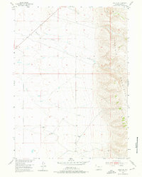
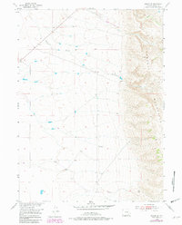
The eastern slopes of the Laramie Mountains dominate this mid-century survey of the Wyoming high country. The landscape is defined by the sharp transition from the elevated peaks on the eastern edge to the gradually sloping basin floor. Water management and livestock survival are central to the local economy, evidenced by several scattered Windmill sites and a prominent Ditch cutting through the western sections. The drainage patterns of Wallrock Creek and Gates Creek dictate the movement across this terrain, while a Gravel Pit near the northern boundary points to the localized industrial activities of the period. This map was produced as part of a broader Department of the Interior program for the development of the Missouri River Basin, capturing the area just as aerial photography was becoming the standard for precise topographic mapping.
Find a feature on this map
6 named features on this map. Tap any name to fly to it.
Don’t see what you’re looking for? This feature index may not catch every label — zoom into the map to look around manually.
Map Details
Editions of this 1955 Bosler SE Map
3 editions found
Other maps of this area

1895 · Laramie
USGS Topo · 1:125,000

1902 · Laramie
USGS Topo · 1:125,000

1905 · Sherman
USGS Topo · 1:125,000

1905 · Laramie
USGS Topo · 1:125,000

1906 · Laramie
USGS Topo · 1:125,000

1908 · Laramie
USGS Topo · 1:125,000

1948 · Ragged Top Mountain
USGS Topo · 1:62,500

1950 · Ragged Top Mountain
USGS Topo · 1:62,500

1954 · Cheyenne
USGS Topo · 1:250,000

1955 · Bosler
USGS Topo · 1:24,000