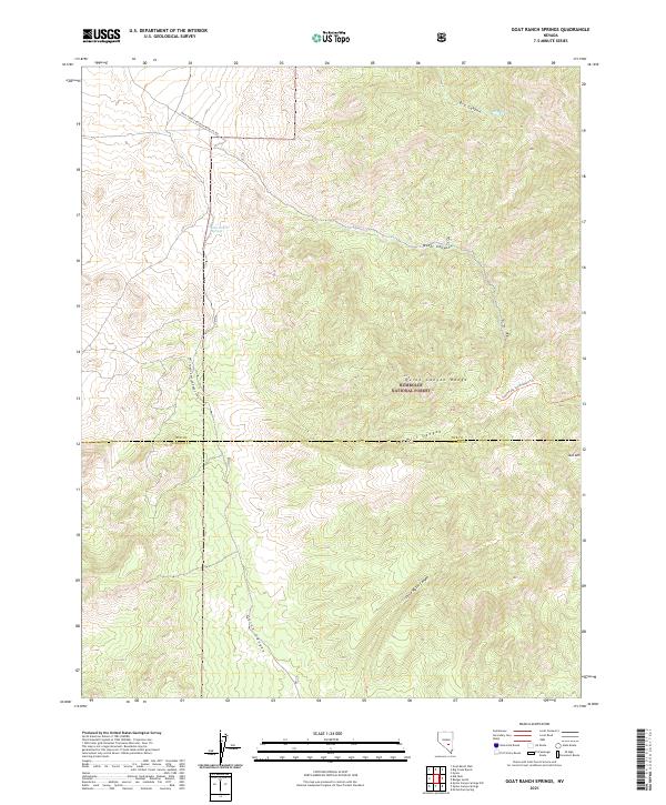
2021 Map of Goat Ranch Springs
USGS Topo · Published 2021About this map
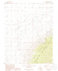
Humboldt National Forest encompasses the high-elevation terrain of the Quinn Canyon Range in this modern survey of the remote Nevada interior. The landscape is defined by its dramatic drainage networks, with deeply carved features like Sawmill Canyon, Water Canyon, and Little Water Canyon radiating from the central peaks. Human presence is sparse, marked primarily by the seasonal water source at Goat Ranch Springs and a network of forest access roads including Natl Forest Develop Road 416 Rd. This map captures the intersection of Nye Co and Lincoln Co, where the transition from valley floors to high ridges like Skull Mtn dictates the movement of early travelers. The inclusion of the South Fork Cottonwood Trl highlights the enduring paths through these steep canyons, essential for ranching and resource management in the Great Basin.
Find a feature on this map
18 named features on this map. Tap any name to fly to it.
Don’t see what you’re looking for? This feature index may not catch every label — zoom into the map to look around manually.
Map Details
Editions of this 2021 Goat Ranch Springs Map
This is the sole edition of this map. No revisions or reprints were ever made.
Other maps of this area

1942 · Penoyer Valley
USGS Topo · 1:125,000

1954 · Caliente
USGS Topo · 1:250,000

1956 · Lund
USGS Topo · 1:250,000

1959 · Caliente
USGS Topo · 1:250,000

1960 · Lund
USGS Topo · 1:250,000
1985 · Eds Well
USGS Topo · 1:24,000

1985 · McCutchen Spring
USGS Topo · 1:24,000
1985 · Goat Ranch Well
USGS Topo · 1:24,000
1985 · Goat Ranch Springs
USGS Topo · 1:24,000
1985 · Big Creek Ranch
USGS Topo · 1:24,000