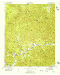
1952 Map of Gobey
USGS Topo · Published 1954About this map
Emory River meanders through a landscape of ridges and hollows in this mid-century survey of the Tennessee mountains. The settlement of Gobey is a focal point for the valley community, supported by local gathering places like the Emory River Church and Cane Branch Church. Family names are deeply etched into the geography, visible in features such as McCartt Gap, Hamby Gap, and the Saxton Cemetery.
Find a feature on this map
85 named features on this map. Tap any name to fly to it.
Don’t see what you’re looking for? This feature index may not catch every label — zoom into the map to look around manually.
Map Details
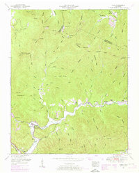
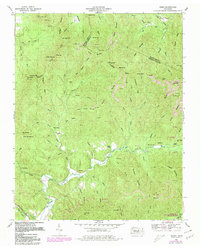
Editions of this 1952 Gobey Map
3 editions found
Other maps of this area

1893 · Briceville
USGS Topo · 1:125,000

1895 · Wartburg
USGS Topo · 1:125,000

1895 · Briceville
USGS Topo · 1:125,000

1896 · Wartburg
USGS Topo · 1:125,000

1896 · Briceville
USGS Topo · 1:125,000

1935 · Gobey
USGS Topo · 1:24,000

1935 · Camp Austin
USGS Topo · 1:24,000

1935 · Lancing
USGS Topo · 1:24,000

1935 · Pilot Mountain
USGS Topo · 1:24,000

1936 · Hogbell Gap
USGS Topo · 1:24,000