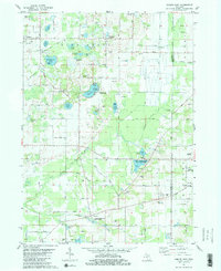
1981 Map of Gobles East
USGS Topo · Published 1982About this map
The Wolf Lake State Fish Hatchery and Almena Ponds State Fish Hatchery stand out as significant conservation landmarks within this pocket of the Michigan landscape. This early 1980s documentation of the Van Buren Co and Kalamazoo Co line captures a rural economy defined by water and aviation. In the northwest, the village of Gobles sits near a dense cluster of water bodies including Muskrat Lake and Brandywine Lake, while further south, the Paw Paw River and its North Branch wind through the countryside near Almena. Evidence of historical infrastructure appears in the Railroad Grade passing through Kendall and Mentha. Local history researchers will find several small airfields, such as the Widner Landing Strip and the curiously named Secret-Airdrome, alongside numerous gravel pits that speak to the region's geological and industrial character.
Find a feature on this map
53 named features on this map. Tap any name to fly to it.
Don’t see what you’re looking for? This feature index may not catch every label — zoom into the map to look around manually.
Map Details
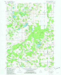
Editions of this 1981 Gobles East Map
2 editions found
Other maps of this area

1916 · Kalamazoo
USGS Topo · 1:62,500

1918 · Kalamazoo
USGS Topo · 1:62,500

1922 · Schoolcraft
USGS Topo · 1:62,500

1943 · Kalamazoo
USGS Topo · 1:62,500

1943 · Schoolcraft
USGS Topo · 1:62,500

1944 · Marcellus
USGS Topo · 1:62,500

1946 · Marcellus
USGS Topo · 1:62,500

1946 · Gobles
USGS Topo · 1:62,500

1948 · Gobles
USGS Topo · 1:62,500

1949 · Gobles
USGS Topo · 1:62,500