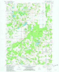
1981 Map of Gobles East
USGS Topo · Published 1982About this map
Wolf Lake State Fish Hatchery and the Almena Ponds State Fish Hatchery anchor this landscape, reflecting Michigan's long-term investment in freshwater conservation. The terrain is defined by a dense network of small water bodies and wetlands, including Brandywine Lake, North Lake, and Wolf Lake. In the northern half of the sheet, the Old Railroad Grade passes through Kendall and Mentha, tracing the path of former industry across the Pine Grove area. Local transit is largely defined by a systematic grid of county roads like 44th Avenue and Almena Drive. Beyond the primary settlements of Gobles and Almena, the map identifies specialized aviation sites such as the Widner Landing Strip and the Secret Airdrome, alongside community landmarks like the West Oshtemo Ch and Pine Grove Cem.
Find a feature on this map
60 named features on this map. Tap any name to fly to it.
Don’t see what you’re looking for? This feature index may not catch every label — zoom into the map to look around manually.
Map Details
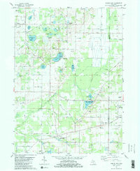
Editions of this 1981 Gobles East Map
2 editions found
Other maps of this area

1916 · Kalamazoo
USGS Topo · 1:62,500

1918 · Kalamazoo
USGS Topo · 1:62,500

1922 · Schoolcraft
USGS Topo · 1:62,500

1943 · Kalamazoo
USGS Topo · 1:62,500

1943 · Schoolcraft
USGS Topo · 1:62,500

1944 · Marcellus
USGS Topo · 1:62,500

1946 · Marcellus
USGS Topo · 1:62,500

1946 · Gobles
USGS Topo · 1:62,500

1948 · Gobles
USGS Topo · 1:62,500

1949 · Gobles
USGS Topo · 1:62,500