Loading...
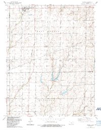
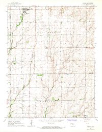
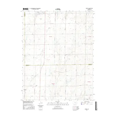
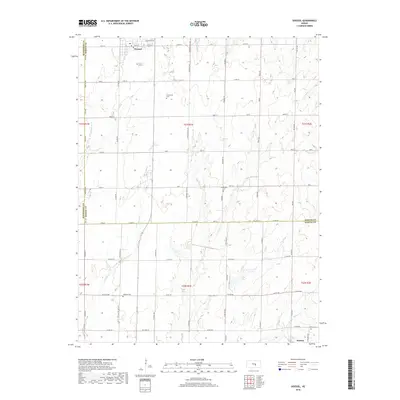
Loading map...1989 Map of Goessel
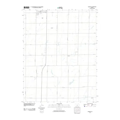
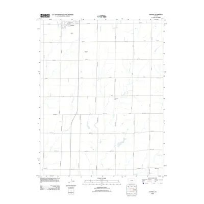
USGS Topo · Published 1990About this map
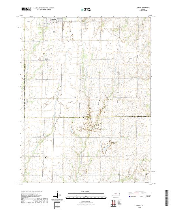
Goessel serves as the primary hub in this late 20th-century landscape, positioned near the intersection of the McPherson and Marion County line and the Sixth Principal Meridian. The area is defined by a series of north-south drainage systems, including Middle Emma Creek, East Emma Creek, and the widely spaced West Branch and East Branch. These waterways carve through a rural environment where land use is marked by dispersed Oil Wells and foundational community institutions.
Find a feature on this map
21 named features on this map. Tap any name to fly to it.
Don’t see what you’re looking for? This feature index may not catch every label — zoom into the map to look around manually.
Map Details
Date Portrayed1989
Date Published1990
PublisherU.S. Geological Survey
Map TypeTopographic
Scale1:24,000
Physical Dimensions20.78 x 26.8 inches
Editions of this 1989 Goessel Map
This is the sole edition of this map. No revisions or reprints were ever made.
Historical Maps of Hesston Through Time
7 maps found
Featured Locations
Source Details
SourceU.S. Geological Survey
CopyrightPublic Domain