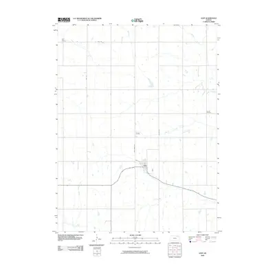
2009 Map of Goff
USGS Topo · Published 2009About this map
The settlement of Goff serves as the focal point of this northern Kansas landscape, situated at the junction of several regional thoroughfares including 6th St and Goff Oneida Rd. The surrounding countryside is defined by an orderly grid of rural routes such as Kelly Rd and Steel Rd, which navigate the drainage basins of several local waterways. Notable watercourses including Tennessee Creek, Wolfley Creek, and Barnes Creek flow through the agricultural sections, while Spring Creek and Soldier Creek traverse the southern reaches of the quadrangle.
Find a feature on this map
14 named features on this map. Tap any name to fly to it.
Don’t see what you’re looking for? This feature index may not catch every label — zoom into the map to look around manually.
Map Details
Editions of this 2009 Goff Map
This is the sole edition of this map. No revisions or reprints were ever made.
Other maps of this area

1888 · Hiawatha
USGS Topo · 1:125,000

1889 · Seneca
USGS Topo · 1:125,000

1894 · Seneca
USGS Topo · 1:125,000

1894 · Hiawatha
USGS Topo · 1:125,000

1950 · Kansas City
USGS Topo · 1:250,000

1954 · Kansas City
USGS Topo · 1:250,000

1955 · Manhattan
USGS Topo · 1:250,000

1956 · Manhattan
USGS Topo · 1:250,000

1956 · Kansas City
USGS Topo · 1:250,000

1957 · Manhattan
USGS Topo · 1:250,000