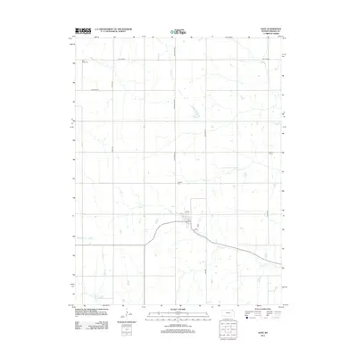
2012 Map of Goff
USGS Topo · Published 2012About this map
Goff anchors this portion of Nemaha County, serving as the primary hub for the surrounding agricultural landscape of northeast Kansas. The town's grid is centered around the Po and major thoroughfares such as 6th St and 5th St, reflecting its role in the local rural economy. The terrain is defined by a dense network of tributaries including Spring Cr, Tennessee Cr, and Barnes Cr, which carve through the plains. For genealogists and local historians, the sheet is particularly valuable for its documentation of rural burial grounds, including Saint Bedes Cem in the northwest, Fairview Cem near the town center, and Barnes Cem to the east. These sites, often located near family-named landmarks like Kelly Spiker or Log Chain, provide a clear record of the settlement patterns and long-standing family ties that have shaped this prairie community over the generations.
Find a feature on this map
21 named features on this map. Tap any name to fly to it.
Don’t see what you’re looking for? This feature index may not catch every label — zoom into the map to look around manually.
Map Details
Editions of this 2012 Goff Map
This is the sole edition of this map. No revisions or reprints were ever made.
Other maps of this area

1888 · Hiawatha
USGS Topo · 1:125,000

1889 · Seneca
USGS Topo · 1:125,000

1894 · Seneca
USGS Topo · 1:125,000

1894 · Hiawatha
USGS Topo · 1:125,000

1950 · Kansas City
USGS Topo · 1:250,000

1954 · Kansas City
USGS Topo · 1:250,000

1955 · Manhattan
USGS Topo · 1:250,000

1956 · Manhattan
USGS Topo · 1:250,000

1956 · Kansas City
USGS Topo · 1:250,000

1957 · Manhattan
USGS Topo · 1:250,000