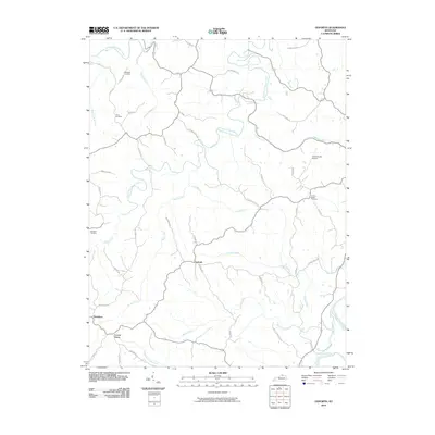
2010 Map of Goforth
USGS Topo · Published 2010About this map
Goforth and Doughton anchor this section of Pendleton County, where the landscape is defined by the complex branching of the South Fork Grassy Creek and its many tributaries. The area maintains a distinctly rural character, with small settlements like Locust Grove connected by a network of winding roads named for local families, such as Mcnay RD and Ballinger RD. The terrain is deeply etched by water, with Fishing Creek and Short Creek draining toward the South Fork Licking River in the southeast corner.
Find a feature on this map
45 named features on this map. Tap any name to fly to it.
Don’t see what you’re looking for? This feature index may not catch every label — zoom into the map to look around manually.
Map Details
Editions of this 2010 Goforth Map
This is the sole edition of this map. No revisions or reprints were ever made.
Other maps of this area

1929 · Alexandria
USGS Topo · 1:48,000

1930 · Falmouth
USGS Topo · 1:48,000

1936 · Alexandria
USGS Topo · 1:62,500

1936 · Falmouth
USGS Topo · 1:62,500

1950 · Mason
USGS Topo · 1:24,000

1950 · Williamstown
USGS Topo · 1:24,000

1950 · Walton
USGS Topo · 1:24,000

1953 · Berry
USGS Topo · 1:24,000

1953 · Kelat
USGS Topo · 1:24,000

1953 · Butler
USGS Topo · 1:24,000