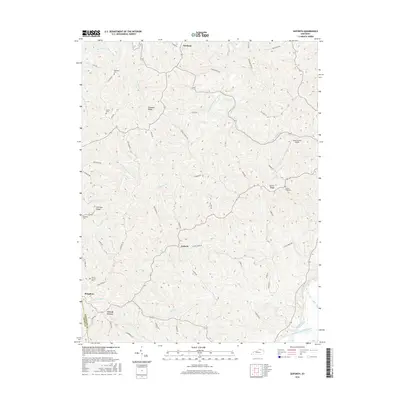
2016 Map of Goforth
USGS Topo · Published 2016About this map
Portland and Goforth anchor this rural landscape in Pendleton County, where the terrain is deeply carved by the South Fork Licking River and its numerous tributaries. The settlement pattern follows the high ground of features like Fairview Ridge and Turner Ridge, with narrow roads winding between isolated family cemeteries and small crossroads communities. Genealogists will find several notable burial sites preserved here, including McMillan Cem, Johns Cem, and Bennette Cem. The drainage network is particularly dense, defined by the winding paths of South Fork Grassy Creek, Lightfoot Fork, and Fishing Cr. This area maintains its traditional character as a network of ridges and hollows, where small aviation at Gene Snyder Airport meets the older pastoral foundations of Locust Grove and Pleasant Ridge.
Find a feature on this map
61 named features on this map. Tap any name to fly to it.
Don’t see what you’re looking for? This feature index may not catch every label — zoom into the map to look around manually.
Map Details
Editions of this 2016 Goforth Map
This is the sole edition of this map. No revisions or reprints were ever made.
Other maps of this area

1929 · Alexandria
USGS Topo · 1:48,000

1930 · Falmouth
USGS Topo · 1:48,000

1936 · Alexandria
USGS Topo · 1:62,500

1936 · Falmouth
USGS Topo · 1:62,500

1950 · Mason
USGS Topo · 1:24,000

1950 · Williamstown
USGS Topo · 1:24,000

1950 · Walton
USGS Topo · 1:24,000

1953 · Berry
USGS Topo · 1:24,000

1953 · Kelat
USGS Topo · 1:24,000

1953 · Butler
USGS Topo · 1:24,000