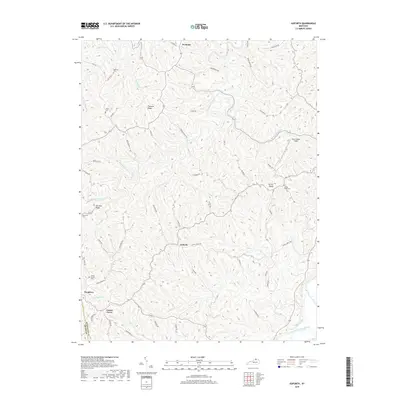
2019 Map of Goforth
USGS Topo · Published 2019About this map
The South Fork Licking River cuts through the southeastern corner of this terrain, where the boundary between Pendleton County and Grant County is clearly defined. This rural landscape is characterized by a dense network of ridges and hollows, where small settlements like Goforth and Pleasant Ridge sit atop the high ground. The drainage patterns are intricate, with Fishing Creek and Brushy Fork carving deep into the topography. Family history is etched into the land through numerous small burial sites, including McMillan Cemetery, Johns Cemetery, and Mount Carmel Cemetery. Near the center of the area, Gene Snyder Airport serves as a modern landmark amidst traditional farming ridges like Fairview Ridge and Turner Ridge. Local transit follows long-established routes such as Hog Ridge Road and Gum Lick Road, connecting dispersed homesteads and crossroad communities.
Find a feature on this map
61 named features on this map. Tap any name to fly to it.
Don’t see what you’re looking for? This feature index may not catch every label — zoom into the map to look around manually.
Map Details
Editions of this 2019 Goforth Map
This is the sole edition of this map. No revisions or reprints were ever made.
Other maps of this area
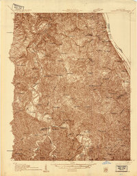
1929 · Alexandria
USGS Topo · 1:48,000
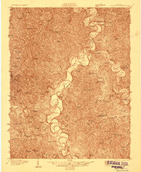
1930 · Falmouth
USGS Topo · 1:48,000
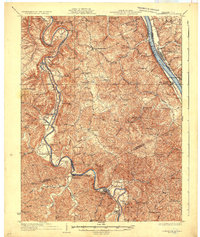
1936 · Alexandria
USGS Topo · 1:62,500
1936 · Falmouth
USGS Topo · 1:62,500
1950 · Mason
USGS Topo · 1:24,000
1950 · Williamstown
USGS Topo · 1:24,000
1950 · Walton
USGS Topo · 1:24,000
1953 · Berry
USGS Topo · 1:24,000
1953 · Kelat
USGS Topo · 1:24,000
1953 · Butler
USGS Topo · 1:24,000