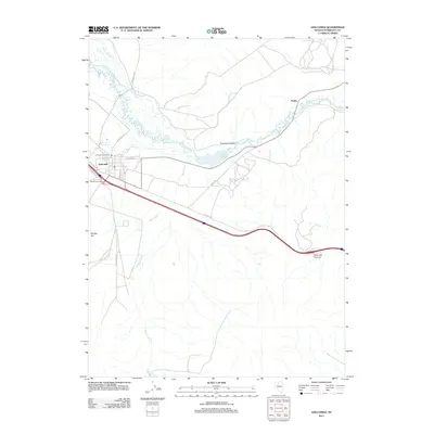
2011 Map of Golconda
USGS Topo · Published 2011About this map
Golconda remains a central hub in the high desert of Nevada, defined by its position along the meandering Humboldt River and the historical transit routes that follow the river valley. The landscape is a study in western movement, where the modern corridor of the Golconda Interchange meets the legacy of Old Hwy 40. Local geography is anchored by notable landmarks such as the Golconda Post Office and the therapeutic Golconda Hot Springs, while the surrounding terrain rises toward Golconda Summit and Kramer Hill. To the northeast, the settlement of Preble sits near the river's bend, connected to the broader region by Midas Rd. The intricate drainage patterns of Rock Creek and Pioneer Slough illustrate the importance of water management in this arid stretch of Humboldt County, highlighting the geographic features that have dictated settlement patterns since the era of the emigrant trails through Emigrant Canyon.
Find a feature on this map
19 named features on this map. Tap any name to fly to it.
Don’t see what you’re looking for? This feature index may not catch every label — zoom into the map to look around manually.
Map Details
Editions of this 2011 Golconda Map
This is the sole edition of this map. No revisions or reprints were ever made.
Other maps of this area
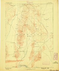
1882 · Paradise
USGS Topo · 1:250,000
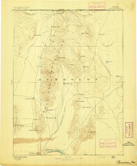
1893 · Paradise
USGS Topo · 1:250,000
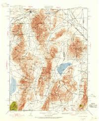
1932 · Sonoma Range
USGS Topo · 1:250,000
1939 · Sonoma Range
USGS Topo · 1:250,000
1945 · Osgood Mountains
USGS Topo · 1:62,500
1947 · Osgood Mountains
USGS Topo · 1:62,500
1955 · McDermitt
USGS Topo · 1:250,000
1955 · Winnemucca
USGS Topo · 1:250,000
1958 · Winnemucca
USGS Topo · 1:250,000
1958 · Winnemucca
USGS Topo · 1:62,500