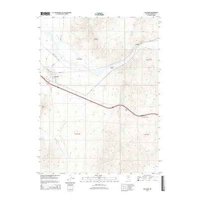
2014 Map of Golconda
USGS Topo · Published 2014About this map
Golconda sits at the intersection of a complex water and mountain landscape, where the Humboldt River and Pioneer Slough cut through the high desert. This 2014 survey captures the proximity of the town to the Golconda Hot Springs and the surrounding peaks of the Osgood Mountains and Edna Mtn. The terrain is marked by significant elevation changes, particularly at Golconda Summit, a critical point for transit through the region.
Find a feature on this map
25 named features on this map. Tap any name to fly to it.
Don’t see what you’re looking for? This feature index may not catch every label — zoom into the map to look around manually.
Map Details
Editions of this 2014 Golconda Map
This is the sole edition of this map. No revisions or reprints were ever made.
Other maps of this area

1882 · Paradise
USGS Topo · 1:250,000

1893 · Paradise
USGS Topo · 1:250,000

1932 · Sonoma Range
USGS Topo · 1:250,000

1939 · Sonoma Range
USGS Topo · 1:250,000

1945 · Osgood Mountains
USGS Topo · 1:62,500

1947 · Osgood Mountains
USGS Topo · 1:62,500

1955 · McDermitt
USGS Topo · 1:250,000

1955 · Winnemucca
USGS Topo · 1:250,000

1958 · Winnemucca
USGS Topo · 1:250,000

1958 · Winnemucca
USGS Topo · 1:62,500