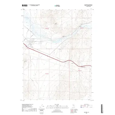
2018 Map of Golconda
USGS Topo · Published 2018About this map
The Humboldt River winds through this high-desert basin, defining the local geography as it passes through Emigrant Canyon. The settlement of Preble sits along the northern bend of the river, while the town of Golconda (partially visible to the west) is signaled by Golconda Hot Springs. This 2018 survey reveals a landscape of transit and irrigation, marked by the French Canal and a grid of local roads including Eden Valley Rd and Morrison Ave. The terrain is dominated by significant elevations such as the Osgood Mountains to the north and Edna Mtn to the southeast. Researchers can trace the path of Old Hwy 40 E as it cuts across the center of the quadrangle toward Golconda Summit, illustrating the historical and modern transportation corridors that follow the river valley.
Find a feature on this map
27 named features on this map. Tap any name to fly to it.
Don’t see what you’re looking for? This feature index may not catch every label — zoom into the map to look around manually.
Map Details
Editions of this 2018 Golconda Map
This is the sole edition of this map. No revisions or reprints were ever made.
Other maps of this area
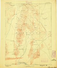
1882 · Paradise
USGS Topo · 1:250,000
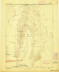
1893 · Paradise
USGS Topo · 1:250,000
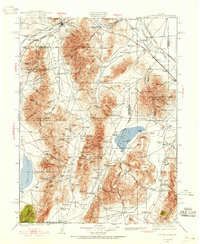
1932 · Sonoma Range
USGS Topo · 1:250,000
1939 · Sonoma Range
USGS Topo · 1:250,000
1945 · Osgood Mountains
USGS Topo · 1:62,500
1947 · Osgood Mountains
USGS Topo · 1:62,500
1955 · McDermitt
USGS Topo · 1:250,000
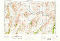
1955 · Winnemucca
USGS Topo · 1:250,000
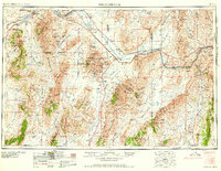
1958 · Winnemucca
USGS Topo · 1:250,000
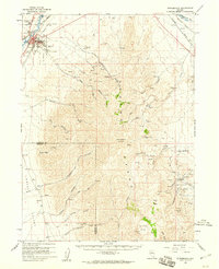
1958 · Winnemucca
USGS Topo · 1:62,500