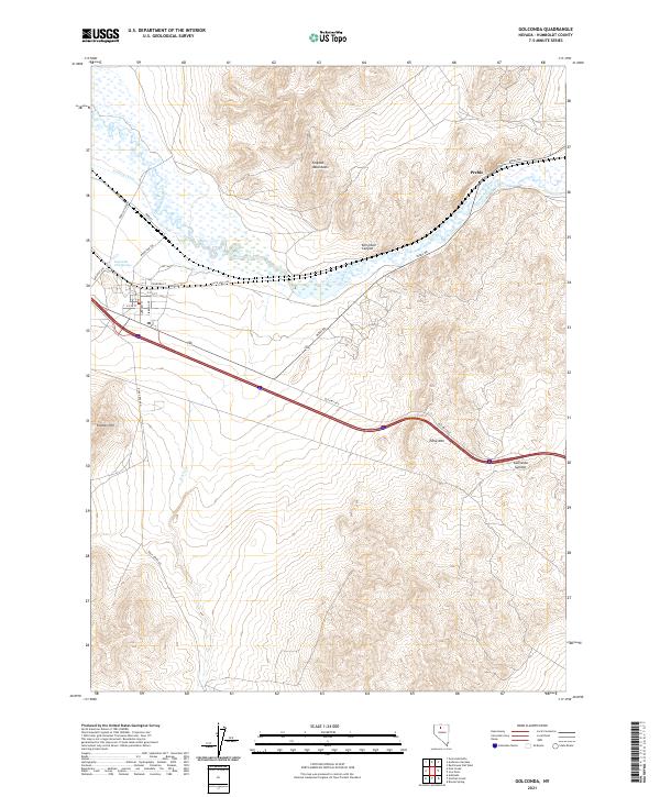
2021 Map of Golconda
USGS Topo · Published 2021About this map
Golconda Hot Springs stands as a focal point in this high-desert landscape where the Humboldt River valley meets the rising slopes of the Osgood Mountains. This 2021 digital survey documents the modern layout of the region, emphasizing the historical importance of water and passage in Humboldt County. The area around Preble reflects the long-standing transportation corridor that has defined northern Nevada since the mid-19th century, while the presence of the French Canal indicates the complex history of irrigation and resource management in the Great Basin. This map provides a clear look at how contemporary infrastructure like Interstate 80 and the Southern Pacific rail line trace the same paths once followed by pioneers and early miners.
Find a feature on this map
3 named features on this map. Tap any name to fly to it.
Don’t see what you’re looking for? This feature index may not catch every label — zoom into the map to look around manually.
Map Details
Editions of this 2021 Golconda Map
This is the sole edition of this map. No revisions or reprints were ever made.
Other maps of this area

1882 · Paradise
USGS Topo · 1:250,000

1893 · Paradise
USGS Topo · 1:250,000

1932 · Sonoma Range
USGS Topo · 1:250,000

1939 · Sonoma Range
USGS Topo · 1:250,000

1945 · Osgood Mountains
USGS Topo · 1:62,500

1947 · Osgood Mountains
USGS Topo · 1:62,500

1955 · McDermitt
USGS Topo · 1:250,000

1955 · Winnemucca
USGS Topo · 1:250,000

1958 · Winnemucca
USGS Topo · 1:250,000

1958 · Winnemucca
USGS Topo · 1:62,500