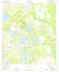
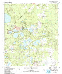
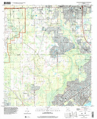
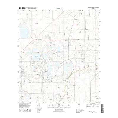
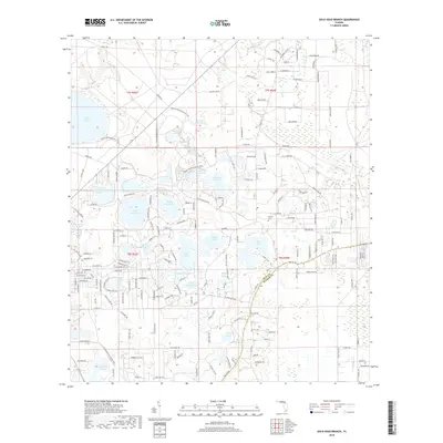
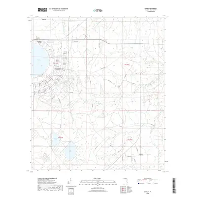
1949 Map of Gold Head Branch
USGS Topo · Published 1978About this map
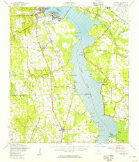
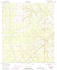
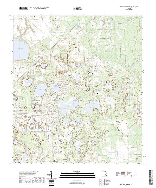
Gold Head Branch State Park dominates the center of this landscape, showcasing the unique karst topography of North Central Florida as it appeared during the late 1940s. The map illustrates a dense network of water bodies, including Lake Johnson, Smith Lake, and Sand Hill Lake, interspersed with the high-elevation ridges characteristic of the area. To the northwest, the Camp Blanding Wildlife Management Area suggests the military's significant footprint on the region, featuring a Mobile Target Range and lookout towers.
Find a feature on this map
19 named features on this map. Tap any name to fly to it.
Don’t see what you’re looking for? This feature index may not catch every label — zoom into the map to look around manually.
Map Details
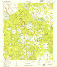
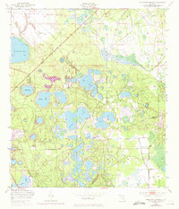
Editions of this 1949 Gold Head Branch Map
3 editions found
Historical Maps of Clay County Through Time
43 maps found

1942 Ates Creek
Clay County, FL

1947 Bostwick
Clay County, FL
1949 Ates Creek
Clay County, FL
1949 Bostwick
Clay County, FL
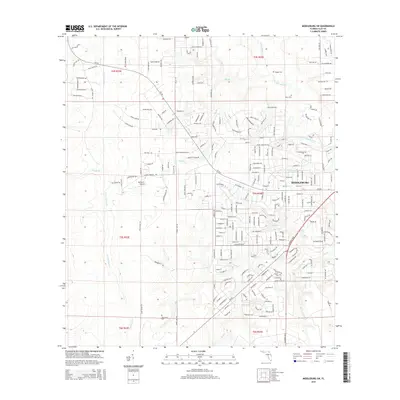
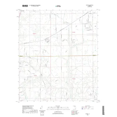
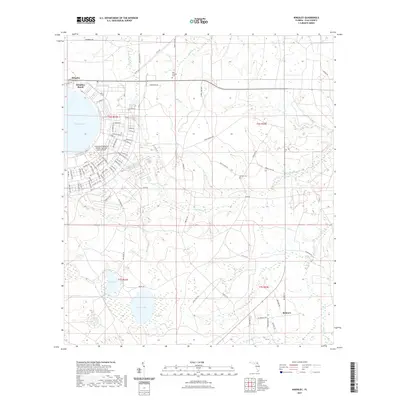
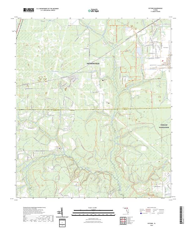
1949 Fiftone
Clay County, FL
1949 Gold Head Branch
Clay County, FL
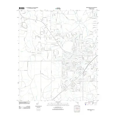
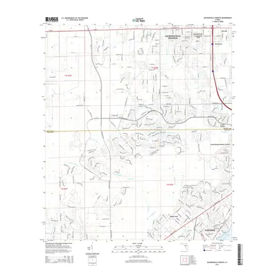
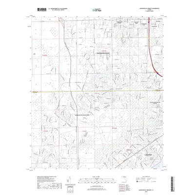
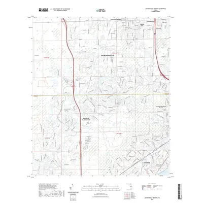
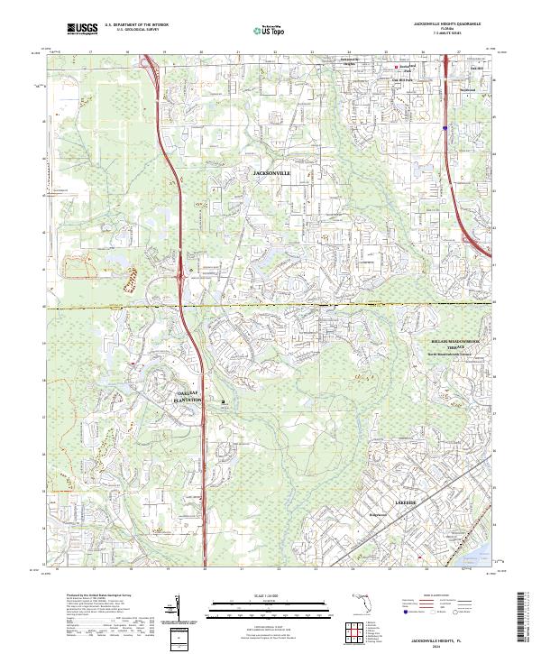
1949 Jacksonville Heights
Clay County, FL
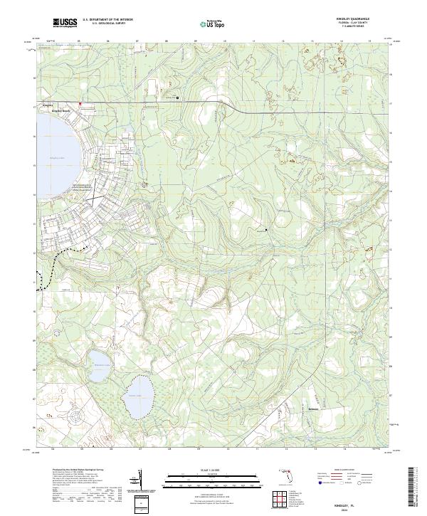
1949 Kingsley
Clay County, FL
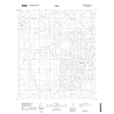
1949 Middleburg SW
Clay County, FL
1964 Jacksonville Heights
Clay County, FL
1992 Kingsley
Clay County, FL
1993 Fiftone
Clay County, FL
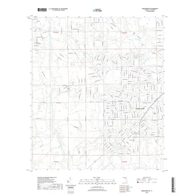
1993 Gold Head Branch
Clay County, FL
1993 Jacksonville Heights
Clay County, FL
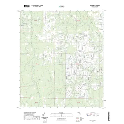
1993 Middleburg SW
Clay County, FL
1994 Fiftone
Clay County, FL
1994 Jacksonville Heights
Clay County, FL
2012 Fiftone
Clay County, FL
2012 Gold Head Branch
Clay County, FL

2012 Jacksonville Heights
Clay County, FL
2012 Kingsley
Clay County, FL
2012 Middleburg SW
Clay County, FL

2015 Fiftone
Clay County, FL
2015 Gold Head Branch
Clay County, FL
2015 Jacksonville Heights
Clay County, FL
2015 Kingsley
Clay County, FL
2015 Middleburg SW
Clay County, FL
2018 Fiftone
Clay County, FL
2018 Gold Head Branch
Clay County, FL
2018 Jacksonville Heights
Clay County, FL
2018 Kingsley
Clay County, FL
2018 Middleburg SW
Clay County, FL
2021 Fiftone
Clay County, FL
2021 Gold Head Branch
Clay County, FL
2021 Jacksonville Heights
Clay County, FL
2021 Kingsley
Clay County, FL
2021 Middleburg SW
Clay County, FL
2023 Middleburg SW
Clay County, FL
2024 Fiftone
Clay County, FL
2024 Gold Head Branch
Clay County, FL
2024 Jacksonville Heights
Clay County, FL
2024 Kingsley
Clay County, FL
2024 Middleburg SW
Clay County, FL