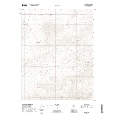
2018 Map of Gold Point
USGS Topo · Published 2018About this map
Gold Point sits on the northwestern edge of this high-altitude landscape, where the Lida Valley meets the rising terrain of the Gold Mountain Range. The map reveals a region defined by dramatic vertical relief, reaching its height at Gold Mtn Peak and the neighboring Hanging Mesa. Settlement is sparse, with the small community at Gold Point and the location of Tokop to the east serving as the primary human landmarks.
Find a feature on this map
20 named features on this map. Tap any name to fly to it.
Don’t see what you’re looking for? This feature index may not catch every label — zoom into the map to look around manually.
Map Details
Editions of this 2018 Gold Point Map
This is the sole edition of this map. No revisions or reprints were ever made.
Other maps of this area
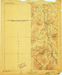
1908 · Lida
USGS Topo · 1:250,000
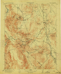
1913 · Lida
USGS Topo · 1:250,000
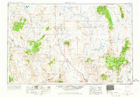
1954 · Goldfield
USGS Topo · 1:250,000
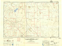
1955 · Goldfield
USGS Topo · 1:250,000
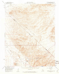
1957 · Ubehebe Crater
USGS Topo · 1:62,500
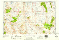
1958 · Goldfield
USGS Topo · 1:250,000
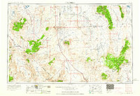
1962 · Goldfield
USGS Topo · 1:250,000
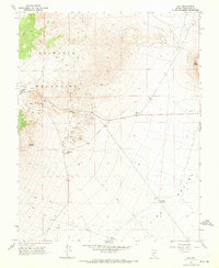
1968 · Lida
USGS Topo · 1:24,000
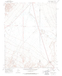
1968 · Stonewall Pass
USGS Topo · 1:24,000
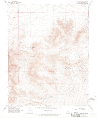
1968 · Gold Point SW
USGS Topo · 1:24,000