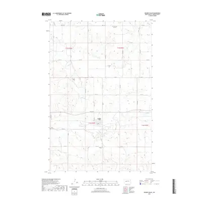
2018 Map of Golden Valley
USGS Topo · Published 2018About this map
Golden Valley serves as the central hub of this prairie landscape in Mercer County, where the grid-like precision of section lines meets the wandering paths of Spring Cr and Goodman Cr. The map reveals a deeply rooted rural community, anchored by scattered burial grounds that preserve local heritage, including Saint Jacobus Sofia Cem to the north and Golgotha Cem to the south. The transition from the high plains down to the creek beds is marked by local landmarks like the Brecht Strip, reflecting the aviation and agricultural history of the region. A robust network of county roads, such as Co RD 2 and Co RD 11, connects the town to outlying farmsteads, following the established townships of T145N R90W and T144N R90W.
Find a feature on this map
34 named features on this map. Tap any name to fly to it.
Don’t see what you’re looking for? This feature index may not catch every label — zoom into the map to look around manually.
Map Details
Editions of this 2018 Golden Valley Map
This is the sole edition of this map. No revisions or reprints were ever made.
Other maps of this area

1953 · Watford City
USGS Topo · 1:250,000
1954 · McClusky
USGS Topo · 1:250,000

1957 · Watford City
USGS Topo · 1:250,000
1958 · McClusky
USGS Topo · 1:250,000

1967 · Watford City
USGS Topo · 1:250,000
1968 · Medicine Butte
USGS Topo · 1:24,000
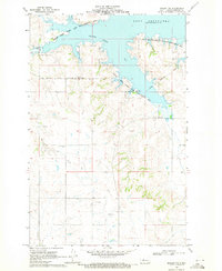
1969 · Beulah NW
USGS Topo · 1:24,000
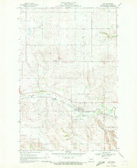
1969 · Zap
USGS Topo · 1:24,000
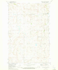
1970 · Golden Valley NE
USGS Topo · 1:24,000
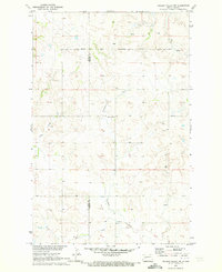
1970 · Golden Valley NW
USGS Topo · 1:24,000