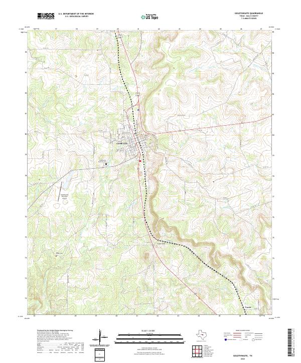
2022 Map of Goldthwaite
USGS Topo · Published 2022About this map
Goldthwaite serves as the focal point of this Central Texas landscape, where the Mills County Courthouse anchors the local street grid. The town is situated on a height of land between several drainage systems, including Cryers Br to the north and the various forks of Bull Cr to the south. The mapping shows a transitioned rural economy where traditional ranching roads like Ranch Rd 2005 and FM 574 intersect with modern infrastructure like the Goldthwaite Municipal Airport.
Find a feature on this map
68 named features on this map. Tap any name to fly to it.
Don’t see what you’re looking for? This feature index may not catch every label — zoom into the map to look around manually.
Map Details
Editions of this 2022 Goldthwaite Map
This is the sole edition of this map. No revisions or reprints were ever made.
Other maps of this area

1885 · San Saba
USGS Topo · 1:125,000

1887 · Lampasas
USGS Topo · 1:125,000

1888 · Hamilton
USGS Topo · 1:125,000

1889 · Brownwood
USGS Topo · 1:125,000

1894 · Hamilton
USGS Topo · 1:125,000

1894 · Lampasas
USGS Topo · 1:125,000

1894 · Brownwood
USGS Topo · 1:125,000

1894 · San Saba
USGS Topo · 1:125,000

1925 · San Saba 1-c
USGS Topo · 1:48,000

1925 · San Saba 1-b
USGS Topo · 1:48,000