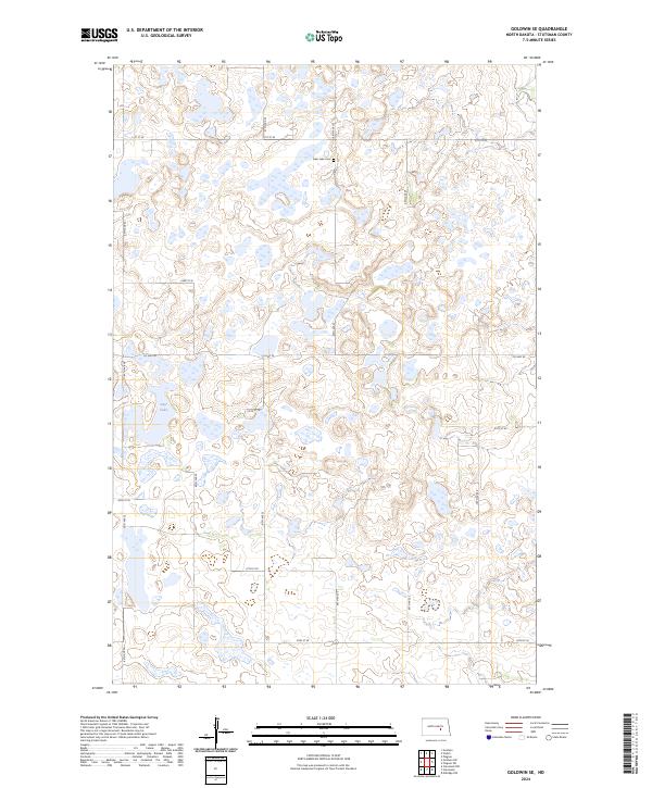
2024 Map of Goldwin SE
USGS Topo · Published 2024About this map
Glacial prairie potholes and wetlands define the landscape of Stutsman County, with much of the terrain dedicated to the Stutsman County Waterfowl Production Area. This conservation-heavy region in North Dakota is characterized by a patchwork of marshy basins and small hills, including the waters of Deer Lake. Local history is anchored by the Deer Lake Cem, situated along a section line in the northern portion of the map. The geography is structured by a rigid grid of local routes like Co Hwy 42 and 25th St SE, which divide the vast stretches of protected habitat and agricultural lands. The map reflects a modern state of land management where traditional rural roads intersect with sprawling federal and state waterfowl habitats, preserving the character of the northern Great Plains.
Find a feature on this map
14 named features on this map. Tap any name to fly to it.
Don’t see what you’re looking for? This feature index may not catch every label — zoom into the map to look around manually.
Map Details
Editions of this 2024 Goldwin SE Map
This is the sole edition of this map. No revisions or reprints were ever made.
Other maps of this area

1896 · Jamestown
USGS Topo · 1:125,000

1900 · Pingree
USGS Topo · 1:125,000

1900 · Pingree
USGS Topo · 1:62,500

1951 · Pingree
USGS Topo · 1:24,000

1951 · Eldridge NW
USGS Topo · 1:24,000

1952 · Pingree SW
USGS Topo · 1:24,000

1952 · New Rockford
USGS Topo · 1:250,000

1953 · Jamestown
USGS Topo · 1:250,000

1953 · Cleveland
USGS Topo · 1:24,000

1954 · Cleveland NW
USGS Topo · 1:24,000